ملف:Bannu Division, Khyber Pakhtunkhwa.png
حجم هذه المعاينة: 600 × 600 بكسل. البعدان الآخران: 2٬048 × 2٬048 بكسل | 3٬840 × 3٬840 بكسل.
الملف الأصلي (3٬840 × 3٬840 بكسل حجم الملف: 1٫23 ميجابايت، نوع MIME: image/png)
وصف قصير
| ⧼wm-license-information-description⧽ |
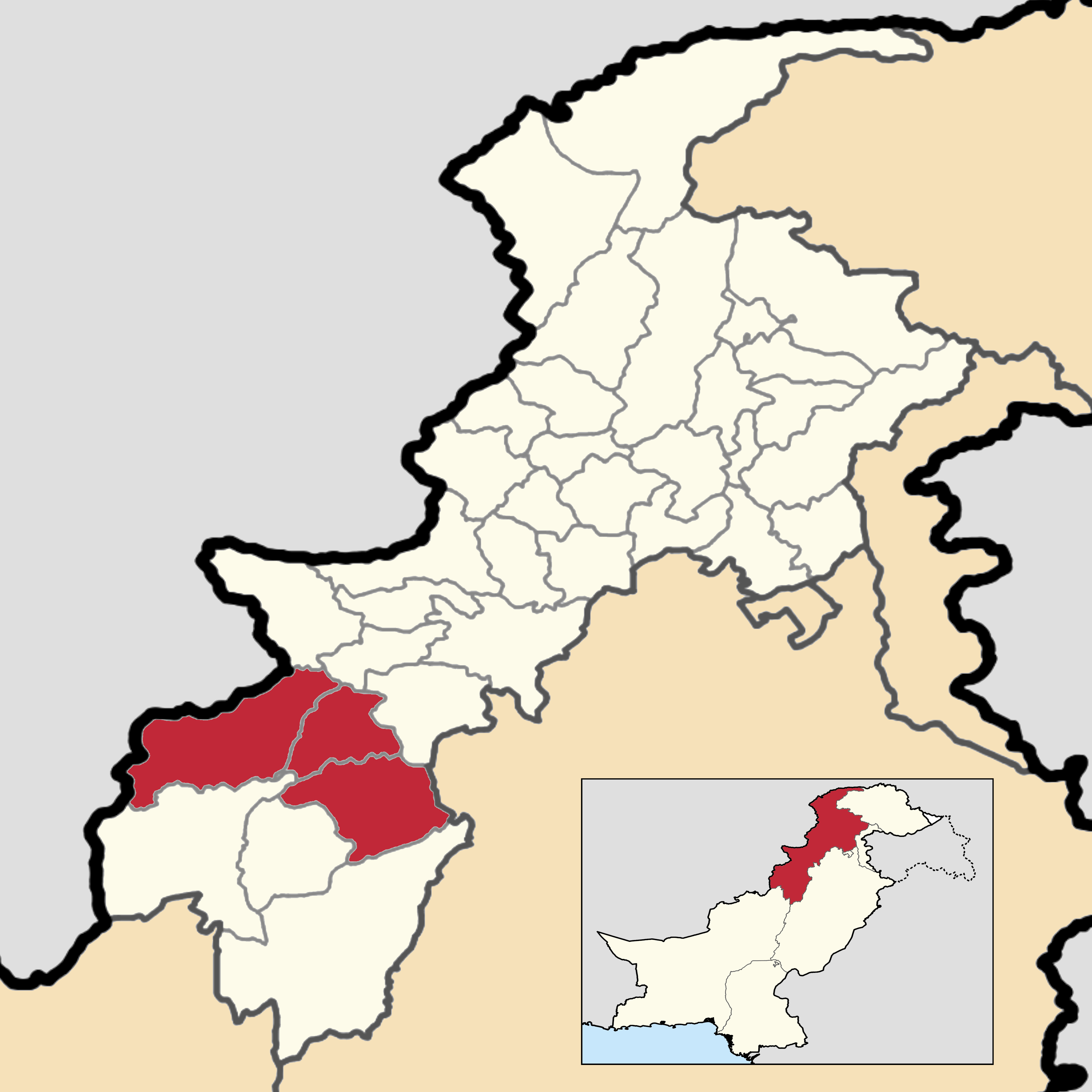
English: This is a map showing the location of Bannu Division within Khyber Pakhtunkhwa Province.
You can find information about the sources used on this map, showing every district in Khyber Pakhtunkhwa Province, with each division colored differently. This map and its borders are up to date as of September 30, 2020. |
| ⧼wm-license-information-date⧽ | 2020 |
| ⧼wm-license-information-source⧽ | ⧼Wm-license-own-work⧽ |
| ⧼wm-license-information-author⧽ | User:Abbasi786786 |
ترخيص
|
تاريخ الملف
اضغط على زمن/تاريخ لرؤية الملف كما بدا في هذا الزمن.
| زمن/تاريخ | صورة مصغرة | الأبعاد | مستخدم | تعليق | |
|---|---|---|---|---|---|
| حالي | ★ مراجعة معتمدة 20:56، 6 نوفمبر 2023 | | 3٬840 × 3٬840 (1٫23 ميجابايت) | Pastakhov (نقاش | مساهمات) | Upload https://upload.wikimedia.org/wikipedia/commons/f/f6/Bannu_Division%2C_Khyber_Pakhtunkhwa.png |
لا يمكنك استبدال هذا الملف.
وصلات
لا يوجد صفحات تصل لهذه الصورة.