ملف:Badland on the road to Xizi.jpg
حجم هذه المعاينة: 800 × 600 بكسل. البعدان الآخران: 2٬560 × 1٬920 بكسل | 3٬648 × 2٬736 بكسل.
الملف الأصلي (3٬648 × 2٬736 بكسل حجم الملف: 4٫84 ميجابايت، نوع MIME: image/jpeg)
وصف قصير
| ⧼wm-license-information-description⧽ |
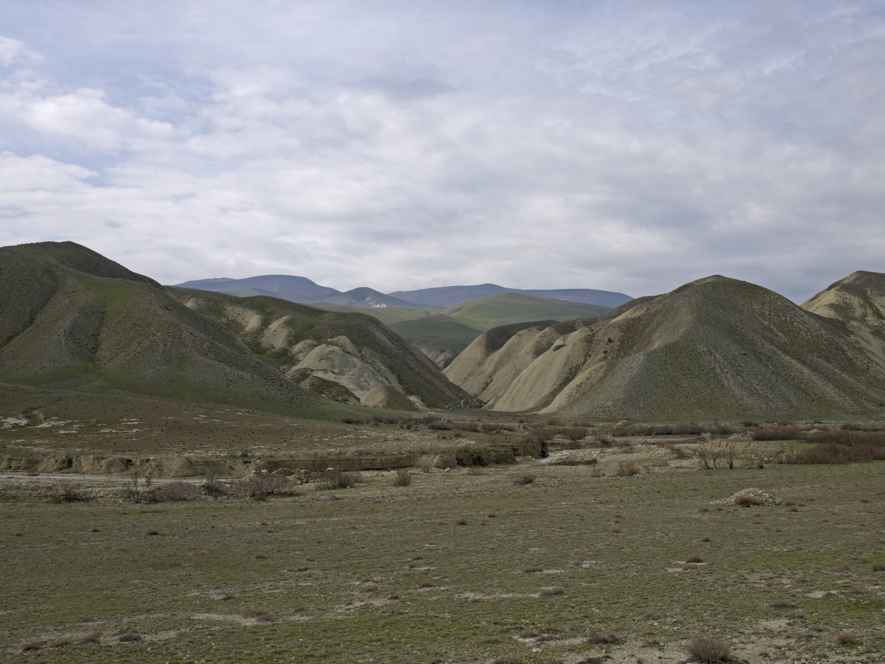
English: Badland on the road to Xizi (the side of the valley opposite to the Candy Cane Mountains). Mountains of the Altiagac NP are at the background.
|
| ⧼wm-license-information-date⧽ | 2016, {{time}} – invalid date format 25 (help) |
| ⧼wm-license-information-source⧽ | ⧼Wm-license-own-work⧽ |
| ⧼wm-license-information-author⧽ | Ymblanter |
40°52′08″N 49°12′28″E / 40.868929°N 49.207648°E
ترخيص
|
تاريخ الملف
اضغط على زمن/تاريخ لرؤية الملف كما بدا في هذا الزمن.
| زمن/تاريخ | صورة مصغرة | الأبعاد | مستخدم | تعليق | |
|---|---|---|---|---|---|
| حالي | ★ مراجعة معتمدة 23:09، 30 أكتوبر 2023 | | 3٬648 × 2٬736 (4٫84 ميجابايت) | Pastakhov (نقاش | مساهمات) | Upload https://upload.wikimedia.org/wikipedia/commons/3/3f/Badland_on_the_road_to_Xizi.jpg |
لا يمكنك استبدال هذا الملف.
وصلات
لا يوجد صفحات تصل لهذه الصورة.