ملف:Aude department location map.svg

حجم معاينة PNG لذلك الملف ذي الامتداد SVG: 496 × 379 بكسل. البعد الآخر: 2٬560 × 1٬956 بكسل.
الملف الأصلي (ملف SVG، أبعاده 496 × 379 بكسل، حجم الملف: 1٫16 ميجابايت)
وصف قصير
| ⧼wm-license-information-description⧽ |
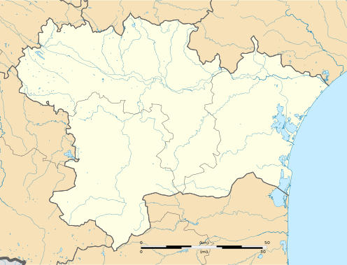
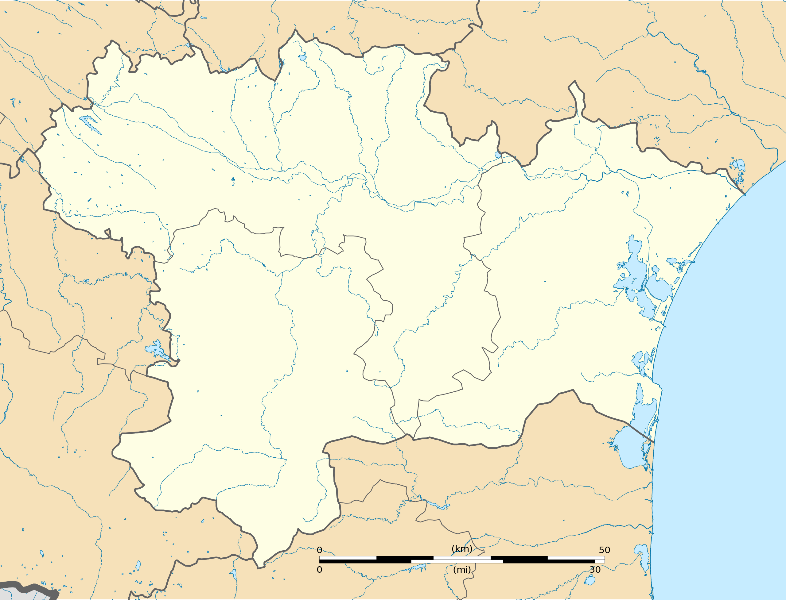
Français : Carte administrative vierge du département de l'Aude, France, destinée à la géolocalisation. Limites géographiques de la carte :
Projection equirectangulaire "Geoportail - France Metropolitaine" (IGNF:GEOPORTALFXX). |
| ⧼wm-license-information-date⧽ | 2016 |
| ⧼wm-license-information-source⧽ | ⧼Wm-license-own-work⧽
|
| ⧼wm-license-information-author⧽ | Flappiefh |
| ⧼wm-license-information-other-versions⧽ |
|
ترخيص
|
تاريخ الملف
اضغط على زمن/تاريخ لرؤية الملف كما بدا في هذا الزمن.
| زمن/تاريخ | صورة مصغرة | الأبعاد | مستخدم | تعليق | |
|---|---|---|---|---|---|
| حالي | ★ مراجعة معتمدة 05:47، 11 نوفمبر 2023 | | 496 × 379 (1٫16 ميجابايت) | Pastakhov (نقاش | مساهمات) | Upload https://upload.wikimedia.org/wikipedia/commons/1/17/Aude_department_location_map.svg |
لا يمكنك استبدال هذا الملف.
وصلات
لا يوجد صفحات تصل لهذه الصورة.