ملف:Atchafalaya River delta.jpg
حجم هذه المعاينة: 800 × 534 بكسل. البعد الآخر: 1٬500 × 1٬001 بكسل.
الملف الأصلي (1٬500 × 1٬001 بكسل حجم الملف: 537 كيلوبايت، نوع MIME: image/jpeg)
| ⧼wm-license-information-description⧽ |
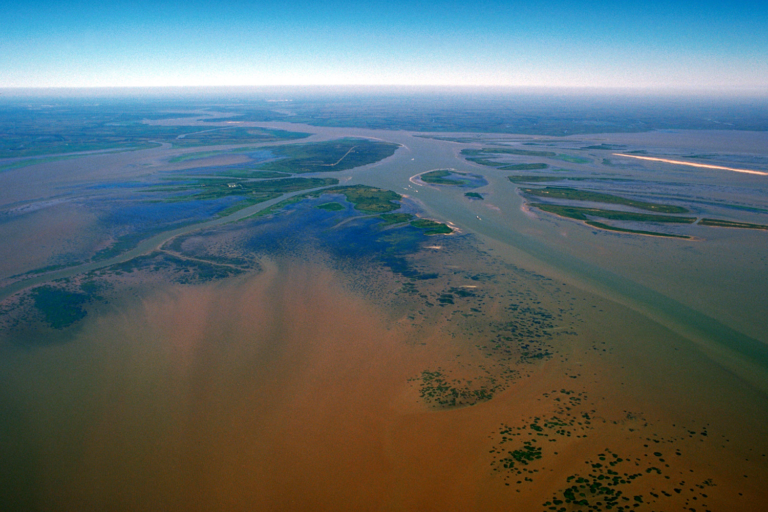
English: The delta of the Atchafalaya River on the Gulf of Mexico. View is upriver to the northwest.
|
| ⧼wm-license-information-date⧽ | 1999 |
| ⧼wm-license-information-source⧽ | U.S. Army Corps of Engineers Digital Visual Library Image page Image description page Digital Visual Library home page |
| ⧼wm-license-information-author⧽ | Arthur Belala, U.S. Army Corps of Engineers |
| ⧼wm-license-information-permission⧽ (⧼wm-license-information-permission-reusing-text⧽) |
|
| قالب:Location/i18n | Atchafalaya Bay, Gulf of Mexico |
تاريخ الملف
اضغط على زمن/تاريخ لرؤية الملف كما بدا في هذا الزمن.
| زمن/تاريخ | صورة مصغرة | الأبعاد | مستخدم | تعليق | |
|---|---|---|---|---|---|
| حالي | ★ مراجعة معتمدة 00:32، 15 يناير 2024 | | 1٬500 × 1٬001 (537 كيلوبايت) | Pastakhov (نقاش | مساهمات) | Upload https://upload.wikimedia.org/wikipedia/commons/3/35/Atchafalaya_River_delta.jpg |
لا يمكنك استبدال هذا الملف.
وصلات
لا يوجد صفحات تصل لهذه الصورة.