ملف:Asia noviter delineata - Insulani Sumatræ.jpg
حجم هذه المعاينة: 356 × 600 بكسل. البعد الآخر: 934 × 1٬574 بكسل.
الملف الأصلي (934 × 1٬574 بكسل حجم الملف: 199 كيلوبايت، نوع MIME: image/jpeg)
وصف قصير
| ⧼wm-license-information-description⧽ |
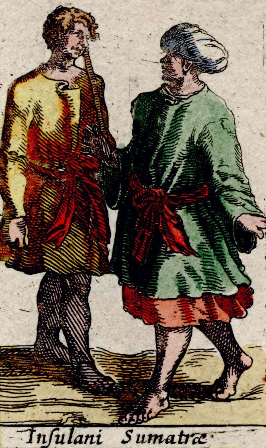
English: Sumatran islanders imaged in the map "Asia noviter delineata"
|
| ⧼wm-license-information-date⧽ | 1617 |
| ⧼wm-license-information-source⧽ | This image is available from the National Library, Singapore's BookSG website, under the digital ID https://eresources.nlb.gov.sg/printheritage/detail/45565262-0642-4782-a851-6d288ed0ab19.aspx (PDF source) |
| ⧼wm-license-information-author⧽ | صانع:Willem Jansz. Blaeu |
| ⧼wm-license-information-other-versions⧽ |
ترخيص
تاريخ الملف
اضغط على زمن/تاريخ لرؤية الملف كما بدا في هذا الزمن.
| زمن/تاريخ | صورة مصغرة | الأبعاد | مستخدم | تعليق | |
|---|---|---|---|---|---|
| حالي | ★ مراجعة معتمدة 12:54، 11 أكتوبر 2023 | | 934 × 1٬574 (199 كيلوبايت) | Pastakhov (نقاش | مساهمات) | Upload https://upload.wikimedia.org/wikipedia/commons/3/38/Asia_noviter_delineata_-_Insulani_Sumatr%C3%A6.jpg |
لا يمكنك استبدال هذا الملف.
وصلات
لا يوجد صفحات تصل لهذه الصورة.