ملف:AritaoHalljf3312 07.JPG
حجم هذه المعاينة: 800 × 600 بكسل. البعدان الآخران: 2٬560 × 1٬920 بكسل | 4٬608 × 3٬456 بكسل.
الملف الأصلي (4٬608 × 3٬456 بكسل حجم الملف: 6٫4 ميجابايت، نوع MIME: image/jpeg)
وصف قصير
| ⧼wm-license-information-description⧽ |
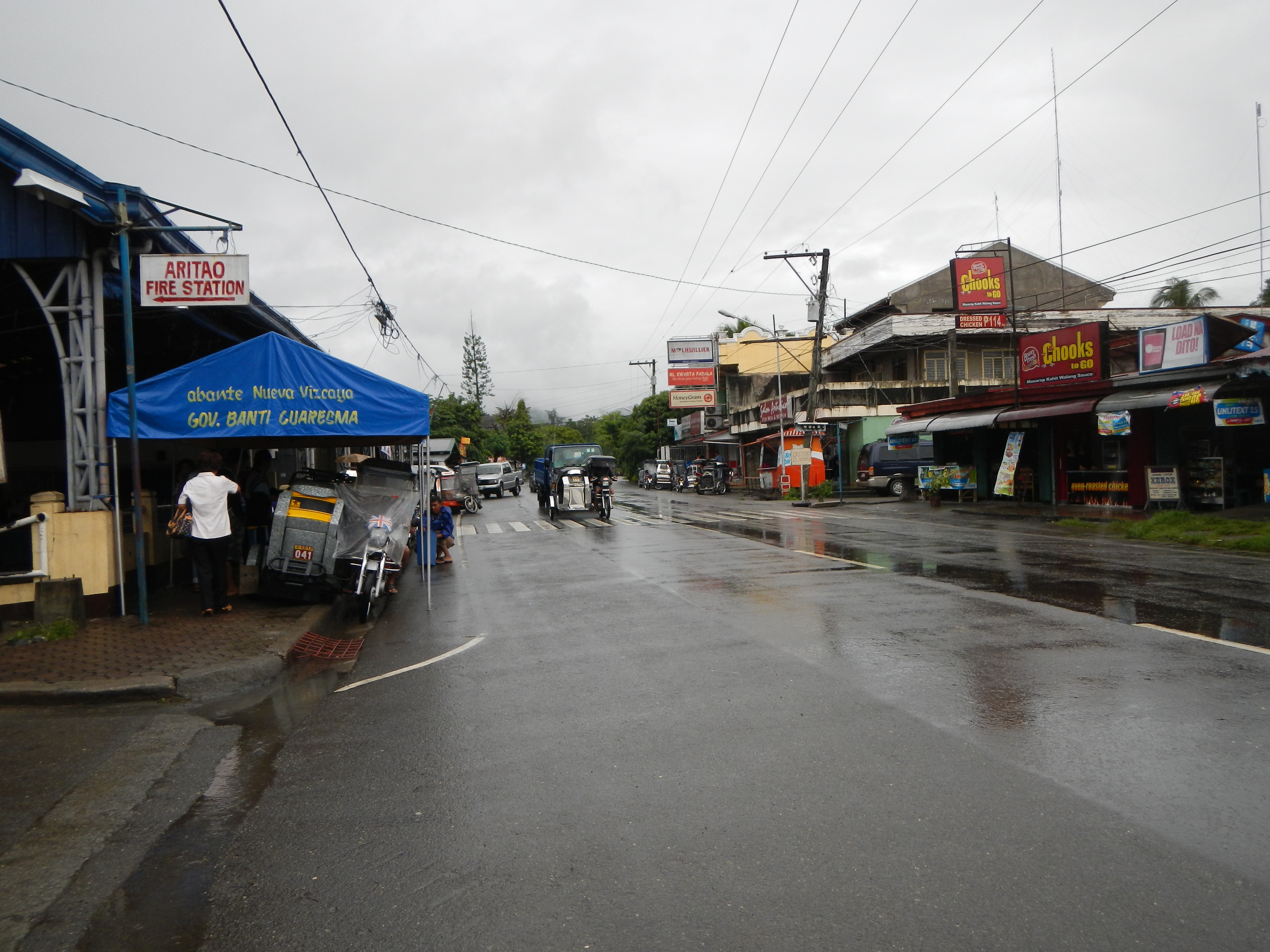
English: Downtown, highway, Aritao, Nueva Vizcaya[1] 2nd class municipality in the province of Nueva Vizcaya,[2] Philippines, has (latest census) a population of 34,206 people in 6,276 households.2013 Election Website [3] Land Area: 402.65 km² ZIP Code: 3704 politically subdivided into 22 barangays: Coordin
ates: 16°14'14"N 120°59'51"E Battle of Kirang Pass 1945.
|
| ⧼wm-license-information-date⧽ | 2013, {{time}} – invalid date format 55 (help) |
| ⧼wm-license-information-source⧽ | ⧼Wm-license-own-work⧽ |
| ⧼wm-license-information-author⧽ | Ramon FVelasquez |
ترخيص
|
تاريخ الملف
اضغط على زمن/تاريخ لرؤية الملف كما بدا في هذا الزمن.
| زمن/تاريخ | صورة مصغرة | الأبعاد | مستخدم | تعليق | |
|---|---|---|---|---|---|
| حالي | ★ مراجعة معتمدة 07:22، 11 أكتوبر 2023 | | 4٬608 × 3٬456 (6٫4 ميجابايت) | Pastakhov (نقاش | مساهمات) | Upload https://upload.wikimedia.org/wikipedia/commons/0/02/AritaoHalljf3312_07.JPG |
لا يمكنك استبدال هذا الملف.
وصلات
لا يوجد صفحات تصل لهذه الصورة.