ملف:Argyll and Bute UK relief location map.jpg
حجم هذه المعاينة: 578 × 599 بكسل. البعد الآخر: 2٬003 × 2٬077 بكسل.
الملف الأصلي (2٬003 × 2٬077 بكسل حجم الملف: 655 كيلوبايت، نوع MIME: image/jpeg)
| ⧼wm-license-information-description⧽ |
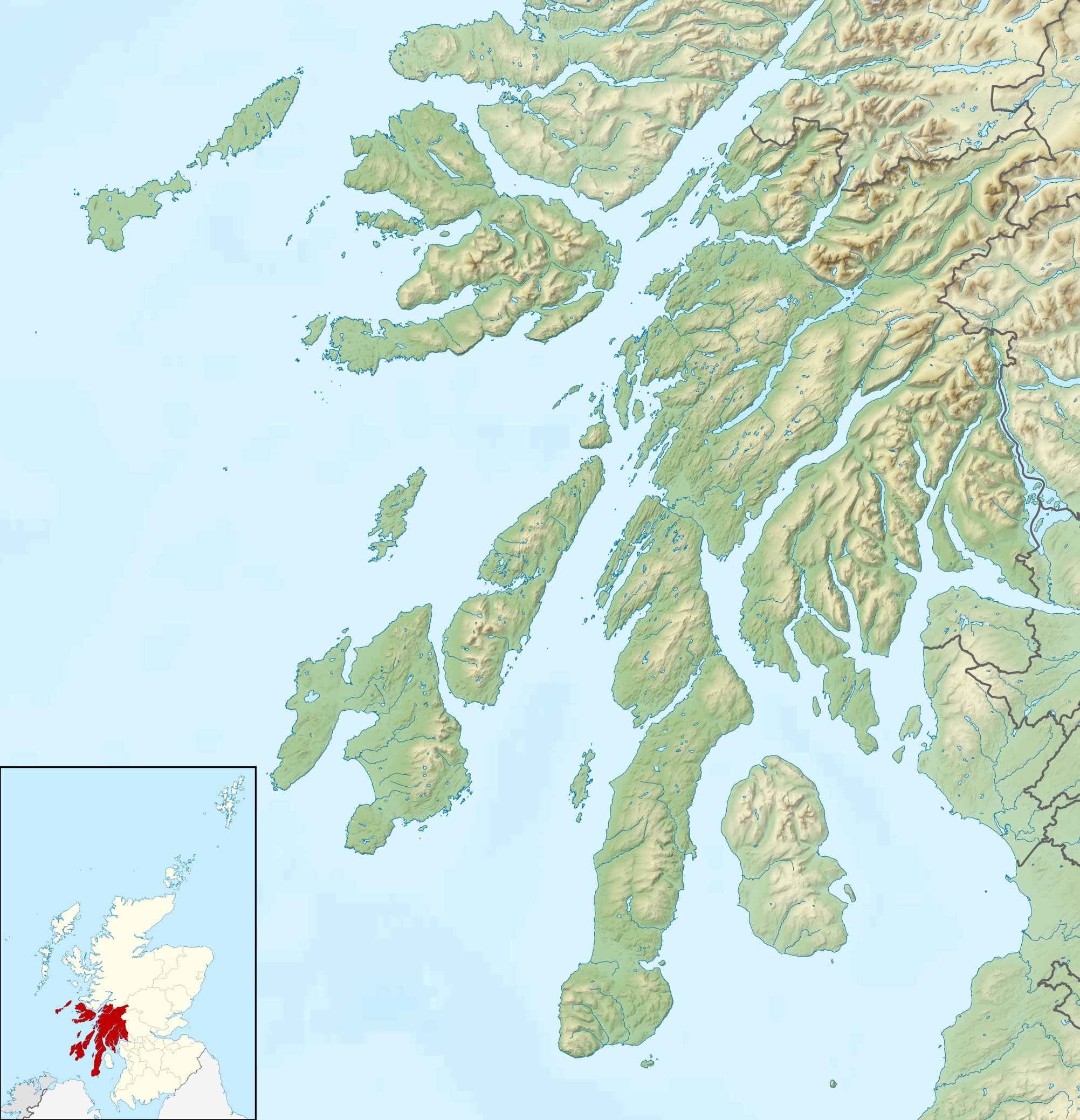
Relief map of Argyll and Bute, UK. Equirectangular map projection on WGS 84 datum, with N/S stretched 175% Geographic limits:
|
||
| ⧼wm-license-information-date⧽ | 2010 | ||
| ⧼wm-license-information-source⧽ | Ordnance Survey OpenData.
|
||
| ⧼wm-license-information-author⧽ | Nilfanion, created using Ordnance Survey data | ||
| ⧼wm-license-information-permission⧽ (⧼wm-license-information-permission-reusing-text⧽) |
|
||
| ⧼wm-license-information-other-versions⧽ |
File:Argyll and Bute UK blank map.svg - Blank map |
تاريخ الملف
اضغط على زمن/تاريخ لرؤية الملف كما بدا في هذا الزمن.
| زمن/تاريخ | صورة مصغرة | الأبعاد | مستخدم | تعليق | |
|---|---|---|---|---|---|
| حالي | ★ مراجعة معتمدة 08:00، 23 نوفمبر 2023 | | 2٬003 × 2٬077 (655 كيلوبايت) | Pastakhov (نقاش | مساهمات) | Upload https://upload.wikimedia.org/wikipedia/commons/6/6c/Argyll_and_Bute_UK_relief_location_map.jpg |
لا يمكنك استبدال هذا الملف.
وصلات
الصفحات التالية تحتوي على وصلة لهذه الصورة: