ملف:Argentina Neuquén location map.svg

حجم معاينة PNG لذلك الملف ذي الامتداد SVG: 373 × 599 بكسل. البعد الآخر: 1٬275 × 2٬048 بكسل.
الملف الأصلي (ملف SVG، أبعاده 630 × 1٬012 بكسل، حجم الملف: 333 كيلوبايت)
وصف قصير
| ⧼wm-license-information-description⧽ |
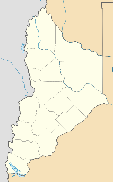
Deutsch: Positionskarte von Neuquén (Argentinien) English: Location map of Neuquén province (Argentina) Español: Mapa de localización de la Provincia de Neuquén.
Equirectangular projection, N/S stretching 128 %. Geographic limits of the map:
|
| ⧼wm-license-information-date⧽ | 2013-07-11 15:03 (UTC) |
| ⧼wm-license-information-source⧽ | قالب:Derived from |
| ⧼wm-license-information-author⧽ |
|
| ⧼wm-license-information-other-versions⧽ |
|
ترخيص
|
|
هذا الملفُّ مُرخَّص بموجب رخصة المشاع الإبداعي نسبة المُصنَّف إِلى مؤلفه - المشاركة بالمثل 3.0 العامة. |
قالب:Original upload log
This image is a derivative work of the following images:
- File:Argentina_location_map.svg licensed with Cc-by-sa-3.0, GFDL
- File:Map_of_Neuquén_Province.svg licensed with Cc-by-sa-3.0,2.5,2.0,1.0, GFDL
تاريخ الملف
اضغط على زمن/تاريخ لرؤية الملف كما بدا في هذا الزمن.
| زمن/تاريخ | صورة مصغرة | الأبعاد | مستخدم | تعليق | |
|---|---|---|---|---|---|
| حالي | ★ مراجعة معتمدة 23:19، 25 يناير 2024 | | 630 × 1٬012 (333 كيلوبايت) | Pastakhov (نقاش | مساهمات) | Upload https://upload.wikimedia.org/wikipedia/commons/d/df/Argentina_Neuqu%C3%A9n_location_map.svg |
لا يمكنك استبدال هذا الملف.
وصلات
لا يوجد صفحات تصل لهذه الصورة.