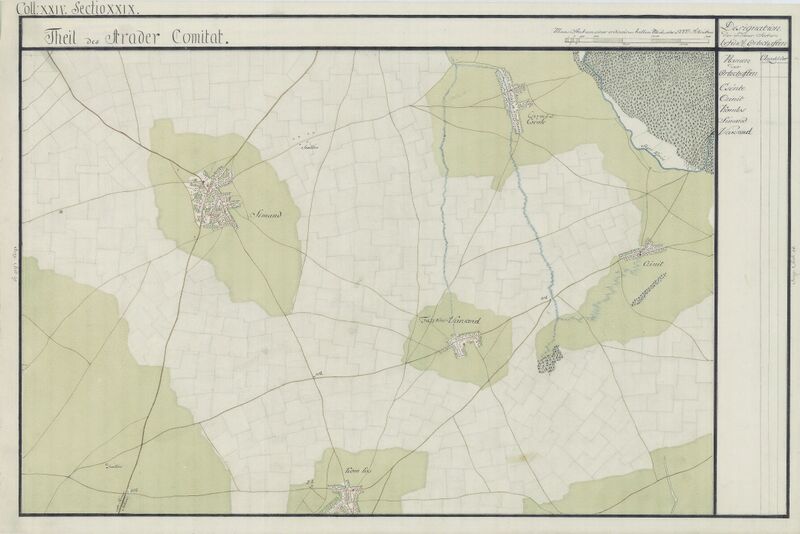
ملف:Arad Josephinische Landesaufnahme pg24-29.jpg

حجم هذه المعاينة: 800 × 534 بكسل. البعدان الآخران: 2٬560 × 1٬709 بكسل | 8٬600 × 5٬741 بكسل.
الملف الأصلي (8٬600 × 5٬741 بكسل حجم الملف: 20٫23 ميجابايت، نوع MIME: image/jpeg)
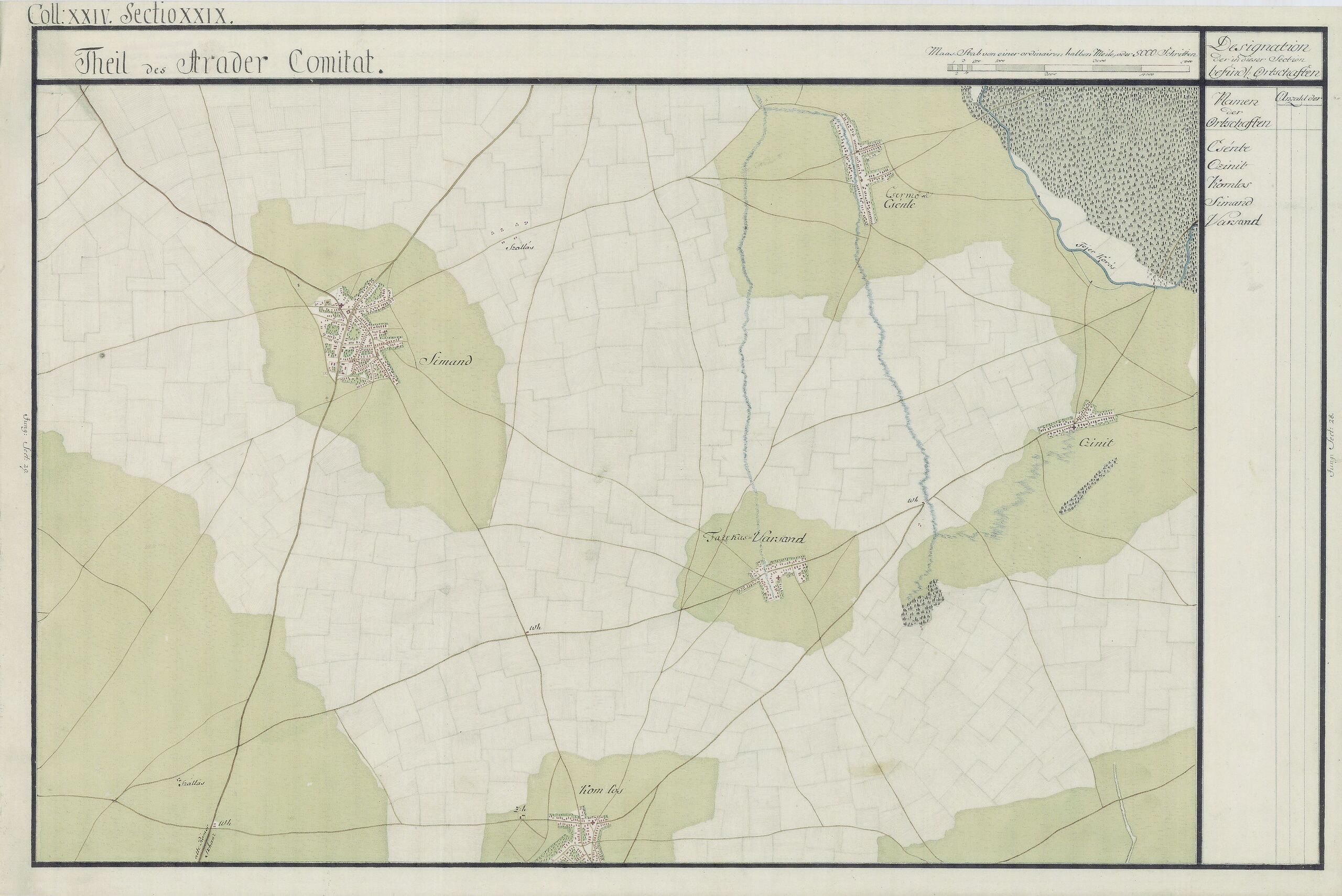
| Name shown on the map Nume din hartă |
Administrative unit Unitate administrativă |
Romanian name Numele românesc |
Hungarian name Numele unguresc |
German name Numele german |
Country today Ţara de astăzi |
|---|---|---|---|---|---|
| Csénte | Arad Arad vármegye Comitatul Arad Komitat Arad |
Cintei [Cinteiu] | Köröscsente, Csintye | Romania | |
| Czinit | Arad | Romania | |||
| Komlos | Arad | Comlăuş [Sântana Veche] | Ószentanna, Komlós | Alt Sankt Ana, Komlosch, Komlusch [in Arader Land] | Romania |
| Simand | Arad | Şimand [Şimandul de Jos] | Alsósimánd | Edlspachersimánd;Unter-Schimand | Romania |
| Varsand | Arad | Olari [Varşandul Nou, Fazecaş-Varşand (nou)] | Újvarsánd, Újfazekasvarsánd | Romania |
وصف قصير
| ⧼wm-license-information-description⧽ |
English: Arad County, 1782-85. Josephinische Landesaufnahme pg.24-29 قالب:Ro
|
||
| ⧼wm-license-information-date⧽ | between 1782 and 1785 | ||
| ⧼wm-license-information-source⧽ | Österreichisches Staatsarchiv, Kriegsarchiv | ||
| ⧼wm-license-information-author⧽ | Historische Militärkarte der österreichisch-ungarischen Monarchie | ||
| ⧼wm-license-information-permission⧽ (⧼wm-license-information-permission-reusing-text⧽) |
|
Clickable Map of the Arad County
تاريخ الملف
اضغط على زمن/تاريخ لرؤية الملف كما بدا في هذا الزمن.
| زمن/تاريخ | صورة مصغرة | الأبعاد | مستخدم | تعليق | |
|---|---|---|---|---|---|
| حالي | ★ مراجعة معتمدة 01:24، 18 أكتوبر 2023 | | 8٬600 × 5٬741 (20٫23 ميجابايت) | Pastakhov (نقاش | مساهمات) | Upload https://upload.wikimedia.org/wikipedia/commons/0/0a/Arad_Josephinische_Landesaufnahme_pg24-29.jpg |
لا يمكنك استبدال هذا الملف.
وصلات
لا يوجد صفحات تصل لهذه الصورة.