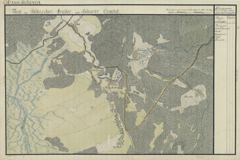
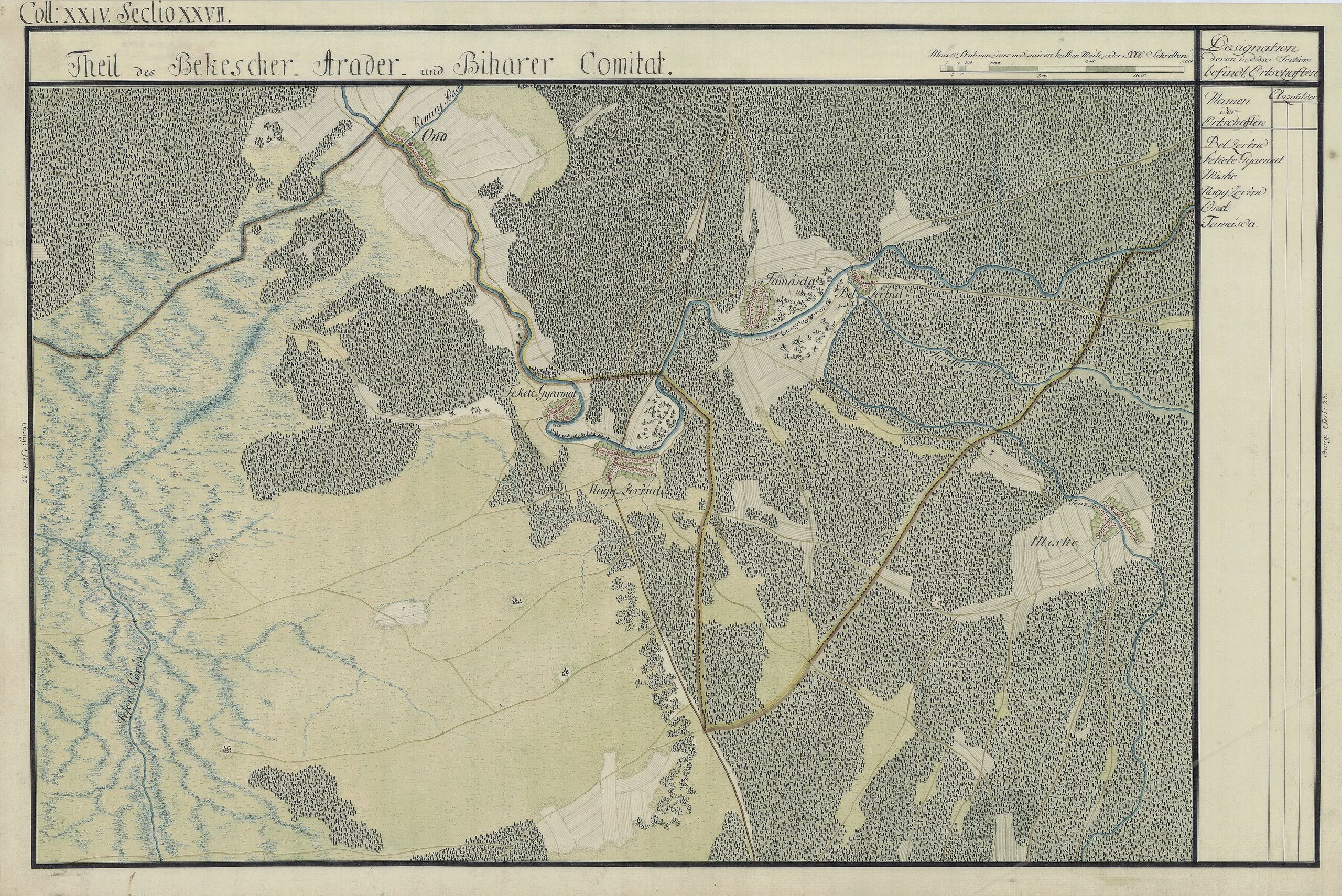
ملف:Arad Josephinische Landesaufnahme pg24-27.jpg

حجم هذه المعاينة: 800 × 534 بكسل. البعدان الآخران: 2٬560 × 1٬709 بكسل | 8٬570 × 5٬720 بكسل.
الملف الأصلي (8٬570 × 5٬720 بكسل حجم الملف: 27٫94 ميجابايت، نوع MIME: image/jpeg)
| Name shown on the map Nume din hartă |
Administrative unit Unitate administrativă |
Romanian name Numele românesc |
Hungarian name Numele unguresc |
German name Numele german |
Country today Ţara de astăzi |
|---|---|---|---|---|---|
| Bel Zerénd | Bihar Bihar vármegye Comitatul Bihor Komitat Bihar |
Zerindu Mic [Belzerind, Luntreni] | Bélzerénd, Bélzerind, Bélselénd, Kiszerind, Zerind | Romania | |
| Fekete Gyarmat | Arad Arad vármegye Comitatul Arad Komitat Arad |
Iermata Neagră | Feketegyarmat, Gyarmat | Romania | |
| Miske | Arad | Mişca | Tőzmiske, Miske | Romania | |
| Nagy Zerénd | Arad | Zerind [Zerindul Mare] | Nagyzerénd, Nagyzerind, Nagyselénd, Zerind | Romania | |
| Ond | Bihar | Ant | Ant | Romania | |
| Tamásda | Bihar | Tămaşda | Tamáshida, Tamásd | Romania |
وصف قصير
| ⧼wm-license-information-description⧽ |
English: Kingdom of Hungary, 1782-85. Josephinische Landesaufnahme pg.24-27. قالب:Ro
Counties shown on the map: 1. Bihar County 2. Bekeser County 3. Arad County |
||
| ⧼wm-license-information-date⧽ | between 1782 and 1785 | ||
| ⧼wm-license-information-source⧽ | Österreichisches Staatsarchiv, Kriegsarchiv | ||
| ⧼wm-license-information-author⧽ | Historische Militärkarte der österreichisch-ungarischen Monarchie | ||
| ⧼wm-license-information-permission⧽ (⧼wm-license-information-permission-reusing-text⧽) |
|
Clickable Map of the Arad County
تاريخ الملف
اضغط على زمن/تاريخ لرؤية الملف كما بدا في هذا الزمن.
| زمن/تاريخ | صورة مصغرة | الأبعاد | مستخدم | تعليق | |
|---|---|---|---|---|---|
| حالي | ★ مراجعة معتمدة 22:50، 17 أكتوبر 2023 | | 8٬570 × 5٬720 (27٫94 ميجابايت) | Pastakhov (نقاش | مساهمات) | Upload https://upload.wikimedia.org/wikipedia/commons/3/32/Arad_Josephinische_Landesaufnahme_pg24-27.jpg |
لا يمكنك استبدال هذا الملف.
وصلات
لا يوجد صفحات تصل لهذه الصورة.