ملف:An Air Quality Monitoring Station above the M42 - geograph.org.uk - 210181.jpg
لا توجد دقة أعلى متوفرة.
An_Air_Quality_Monitoring_Station_above_the_M42_-_geograph.org.uk_-_210181.jpg (640 × 480 بكسل حجم الملف: 87 كيلوبايت، نوع MIME: image/jpeg)
وصف قصير
| ⧼wm-license-information-description⧽ |
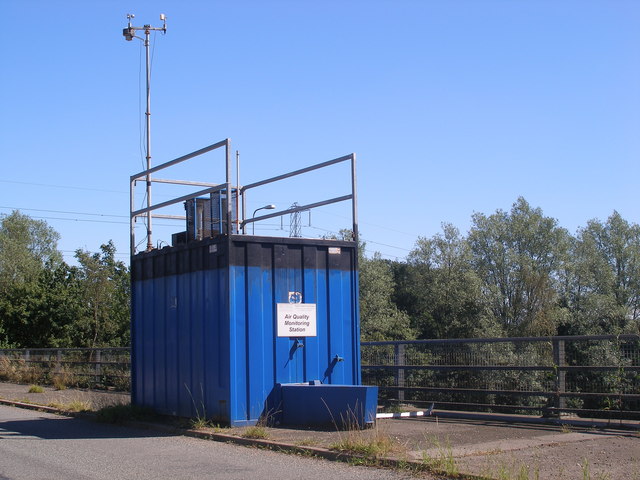
English: An Air Quality Monitoring Station above the M42. This Air Quality Monitoring Station is in Shadowbrook Lane, on a bridge above the M42.
|
| ⧼wm-license-information-date⧽ | 2006 |
| ⧼wm-license-information-source⧽ | From geograph.org.uk |
| ⧼wm-license-information-author⧽ | John Evans |
| ⧼wm-license-cc-attribution⧽ (قالب:I18n/Credit line) |
John Evans / An Air Quality Monitoring Station above the M42 / |
52°25′45″N 1°43′04″W / 52.42912°N 1.7179°W قالب:Object location
_heading:135)
ترخيص
تاريخ الملف
اضغط على زمن/تاريخ لرؤية الملف كما بدا في هذا الزمن.
| زمن/تاريخ | صورة مصغرة | الأبعاد | مستخدم | تعليق | |
|---|---|---|---|---|---|
| حالي | ★ مراجعة معتمدة 12:50، 14 أكتوبر 2023 | | 640 × 480 (87 كيلوبايت) | Pastakhov (نقاش | مساهمات) | Upload https://upload.wikimedia.org/wikipedia/commons/1/1d/An_Air_Quality_Monitoring_Station_above_the_M42_-_geograph.org.uk_-_210181.jpg |
لا يمكنك استبدال هذا الملف.
وصلات
لا يوجد صفحات تصل لهذه الصورة.