ملف:Alma Junction, Colorado.JPG
حجم هذه المعاينة: 799 × 600 بكسل. البعدان الآخران: 2٬560 × 1٬922 بكسل | 4٬834 × 3٬630 بكسل.
الملف الأصلي (4٬834 × 3٬630 بكسل حجم الملف: 13٫16 ميجابايت، نوع MIME: image/jpeg)
وصف قصير
| ⧼wm-license-information-description⧽ |
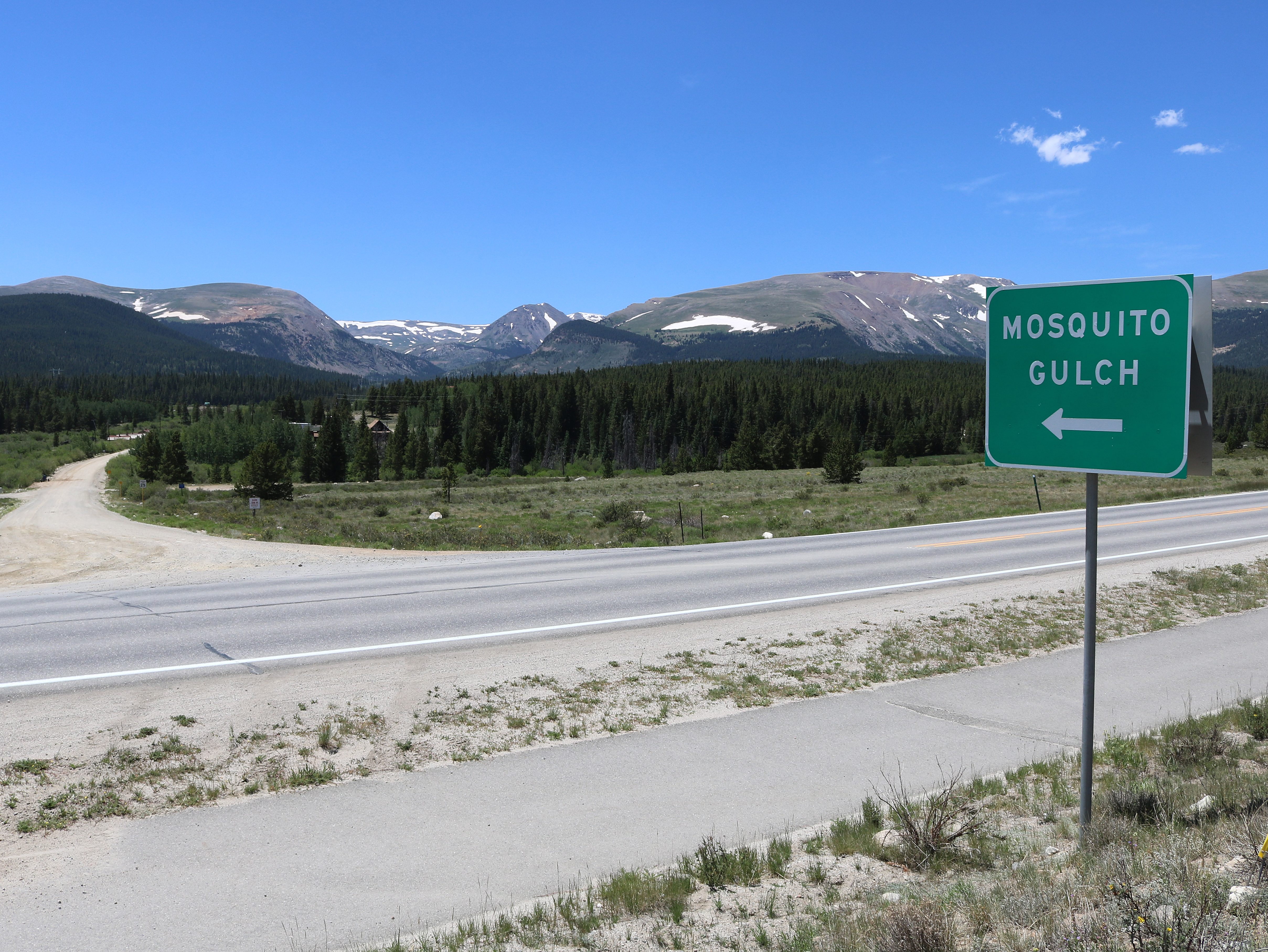
English: Alma Junction, Colorado, a community in Park County, south of Alma and north of Fairplay. The paved road in the picture is Colorado State Highway 9, and the dirt road is Park County Road 12. The dirt road goes to Mosquito Gulch and to Mosquito Pass. The mountains are part of the Mosquito Range.
|
| ⧼wm-license-information-date⧽ | 2020 |
| ⧼wm-license-information-source⧽ | ⧼Wm-license-own-work⧽ |
| ⧼wm-license-information-author⧽ | Jeffrey Beall |
39°16′13.94″N 106°2′49.88″W / 39.2705389°N 106.0471889°W
ترخيص
تاريخ الملف
اضغط على زمن/تاريخ لرؤية الملف كما بدا في هذا الزمن.
| زمن/تاريخ | صورة مصغرة | الأبعاد | مستخدم | تعليق | |
|---|---|---|---|---|---|
| حالي | ★ مراجعة معتمدة 10:34، 4 ديسمبر 2023 | | 4٬834 × 3٬630 (13٫16 ميجابايت) | Pastakhov (نقاش | مساهمات) | Upload https://upload.wikimedia.org/wikipedia/commons/f/f0/Alma_Junction%2C_Colorado.JPG |
لا يمكنك استبدال هذا الملف.
وصلات
لا يوجد صفحات تصل لهذه الصورة.