ملف:All Saints Church, Swanscombe (2) - geograph.org.uk - 1411878.jpg
لا توجد دقة أعلى متوفرة.
All_Saints_Church,_Swanscombe_(2)_-_geograph.org.uk_-_1411878.jpg (640 × 480 بكسل حجم الملف: 87 كيلوبايت، نوع MIME: image/jpeg)
وصف قصير
| ⧼wm-license-information-description⧽ |
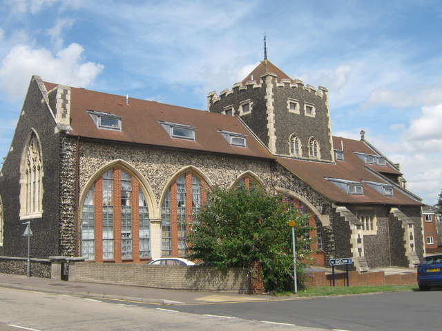
English: Former parish church of All Saints Church, Swanscombe, Kent, seen from the southwest. The church has been converted into several apartments. It is on B259 High Street. The A226 Galley Hill Road is out of sight behind the church.
|
| ⧼wm-license-information-date⧽ | 2009 |
| ⧼wm-license-information-source⧽ | From geograph.org.uk |
| ⧼wm-license-information-author⧽ | David Anstiss |
| ⧼wm-license-cc-attribution⧽ (قالب:I18n/Credit line) |
David Anstiss / All Saints Church, Swanscombe (2) / |
51°26′58″N 0°18′34″E / 51.44956°N 0.3095°E قالب:Object location
_-_geograph.org.uk_-_1411878.jpg¶ms=51.44956_N_0.3095_E_source:geograph-osgb36(TQ60577481)_heading:22)
ترخيص
تاريخ الملف
اضغط على زمن/تاريخ لرؤية الملف كما بدا في هذا الزمن.
| زمن/تاريخ | صورة مصغرة | الأبعاد | مستخدم | تعليق | |
|---|---|---|---|---|---|
| حالي | ★ مراجعة معتمدة 16:49، 30 أكتوبر 2023 | | 640 × 480 (87 كيلوبايت) | Pastakhov (نقاش | مساهمات) | Upload https://upload.wikimedia.org/wikipedia/commons/f/fa/All_Saints_Church%2C_Swanscombe_%282%29_-_geograph.org.uk_-_1411878.jpg |
لا يمكنك استبدال هذا الملف.
وصلات
لا يوجد صفحات تصل لهذه الصورة.
_-_geograph.org.uk_-_1411878.jpg&oldid=3304624)
تصنيفات:
- Pages using gadget WikiMiniAtlas
- 1890s church towers in England
- All Saints church, Swanscombe
- Church arcades in England
- B259 road (England)
- Battlements in Kent
- Buttresses in Kent
- Crossing towers in England
- Dormer windows in Kent
- Gothic Revival arches in England
- Gothic Revival church towers in Kent
- Shed dormers in the United Kingdom
- Images by David Anstiss
- United Kingdom photographs taken on 2009-07-22