ملف:AgoncilloBridgejf4702 14.JPG

حجم هذه المعاينة: 800 × 600 بكسل. البعدان الآخران: 2٬560 × 1٬920 بكسل | 4٬608 × 3٬456 بكسل.
الملف الأصلي (4٬608 × 3٬456 بكسل حجم الملف: 6 ميجابايت، نوع MIME: image/jpeg)
وصف قصير
| ⧼wm-license-information-description⧽ |
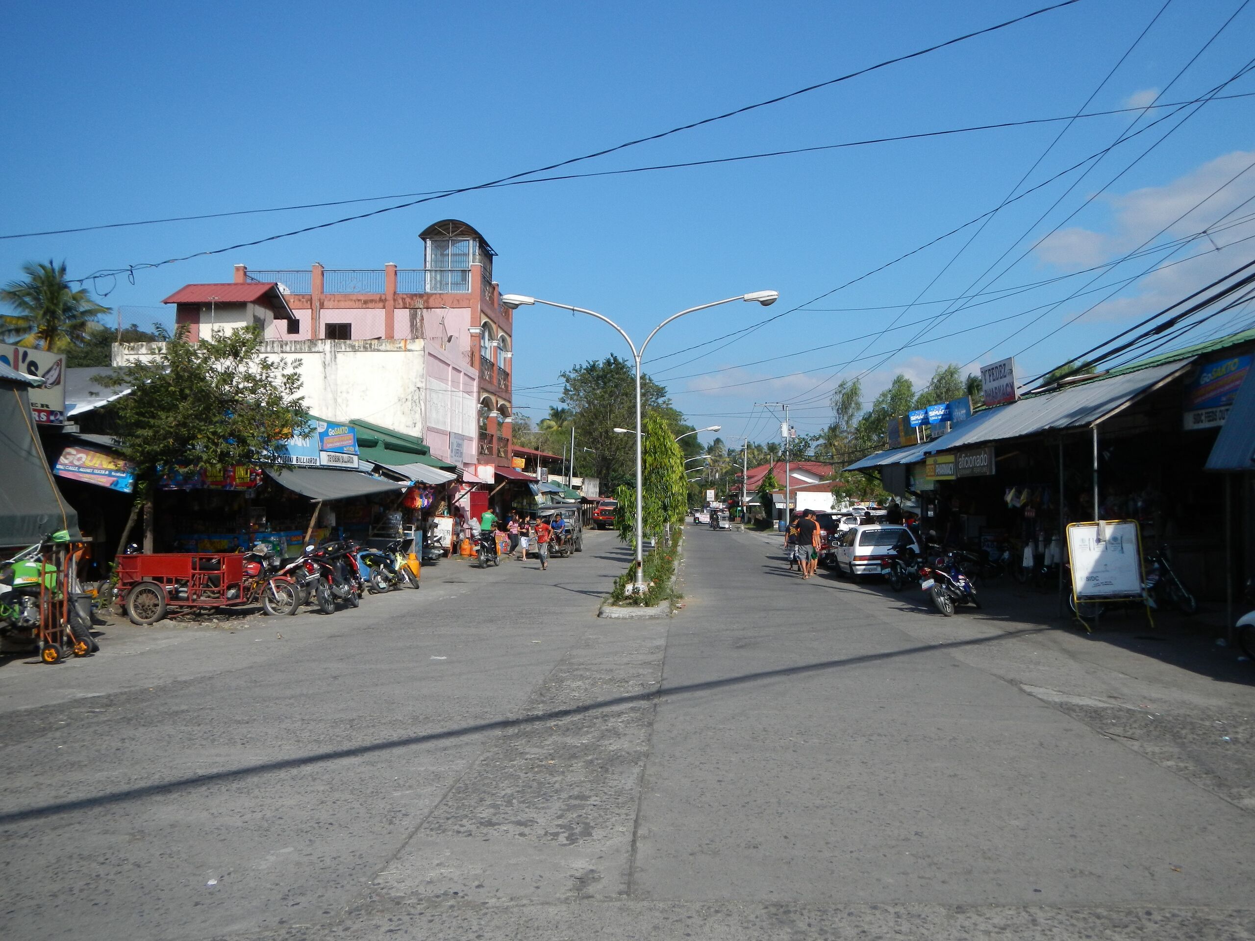
English: Upload Wizard photos of - the - the Talisay-Laurel-Agoncillo Road, Batangas, Agoncillo Bridge, and River (the pathway to the Town Proper, Centro, Town Hall and Church) - Agoncillo, Batangas[1] (a fourth class municipality in the Province of Batangas, Philippines latest census, a population of 33,990 people in 5,029 households politically subdivided into 21 barangays; name of Agoncillo, in honor of Don Felipe Agoncillo, [2] a native of Taal and one of the first Filipino representatives to the Spanish Cortes) ;[3] Coordinates: 13°57'57"N 120°55'50"E Agoncillo [4] geographical location: Batangas, Region 4, Philippines, Asia geographical coordinates: 13° 56' 6" North, 120° 56' 12" East -Agoncillo-Laurel Road) and - the 2nd antiquated Welcome landmark-Agoncillo, Batan, and the Agoncillo Public Market; [5] [6] [7].
|
| ⧼wm-license-information-date⧽ | 2013, {{time}} – invalid date format 40 (help) |
| ⧼wm-license-information-source⧽ | ⧼Wm-license-own-work⧽ |
| ⧼wm-license-information-author⧽ | Ramon FVelasquez |
ترخيص
|
تاريخ الملف
اضغط على زمن/تاريخ لرؤية الملف كما بدا في هذا الزمن.
| زمن/تاريخ | صورة مصغرة | الأبعاد | مستخدم | تعليق | |
|---|---|---|---|---|---|
| حالي | ★ مراجعة معتمدة 13:51، 26 ديسمبر 2023 | | 4٬608 × 3٬456 (6 ميجابايت) | Pastakhov (نقاش | مساهمات) | Upload https://upload.wikimedia.org/wikipedia/commons/a/a1/AgoncilloBridgejf4702_14.JPG |
لا يمكنك استبدال هذا الملف.
وصلات
لا يوجد صفحات تصل لهذه الصورة.