ملف:ATG orthographic.svg

حجم معاينة PNG لذلك الملف ذي الامتداد SVG: 600 × 600 بكسل. البعد الآخر: 2٬048 × 2٬048 بكسل.
الملف الأصلي (ملف SVG، أبعاده 600 × 600 بكسل، حجم الملف: 1٫23 ميجابايت)
وصف قصير
| ⧼wm-license-information-description⧽ |
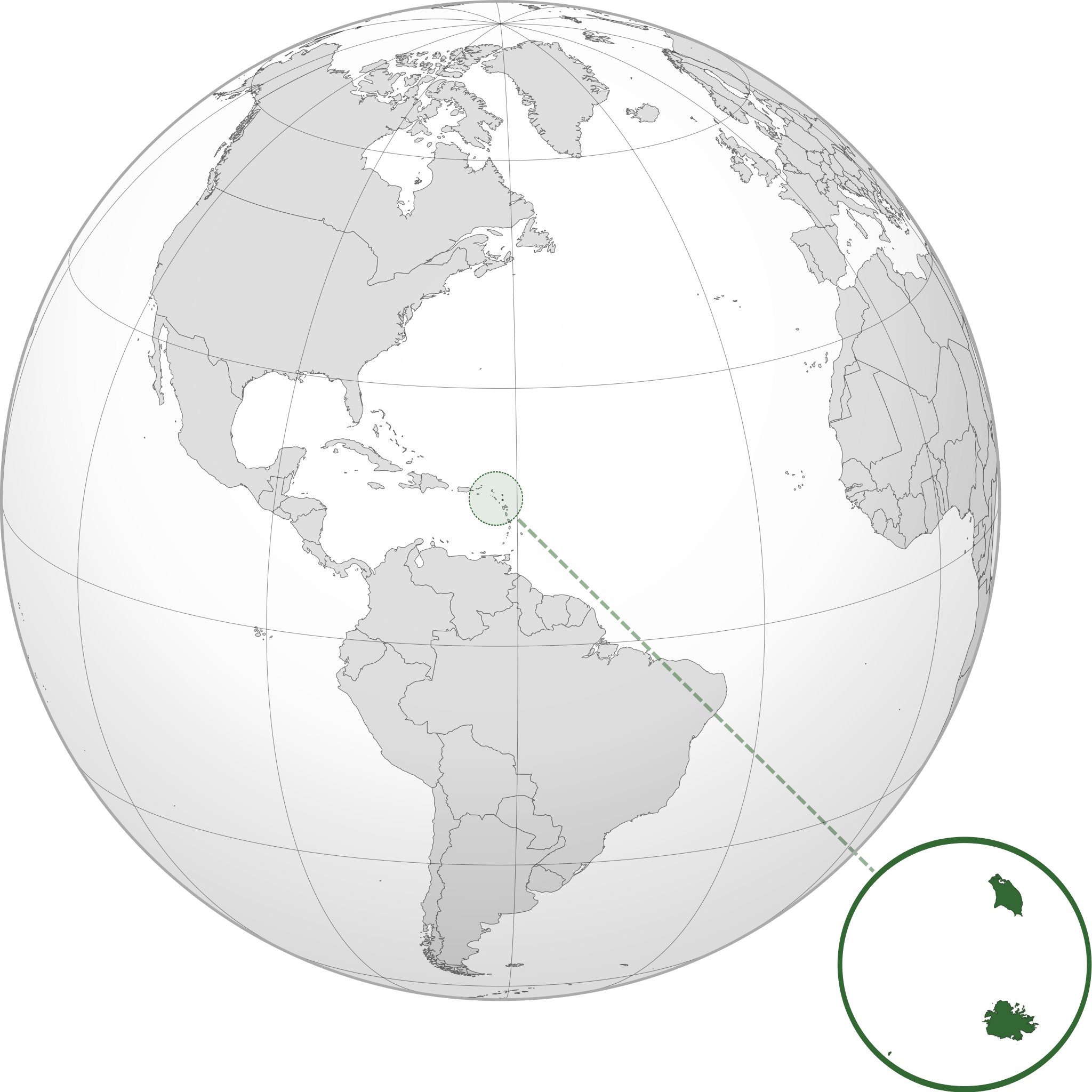
English: Orthographic map of Antigua and Barbuda centered at 17° N, 62° W.
Official territory.
Claimed territories. |
||
| ⧼wm-license-information-date⧽ | 2012 | ||
| ⧼wm-license-information-source⧽ | ⧼Wm-license-own-work⧽ with Natural Earth Data
|
||
| ⧼wm-license-information-author⧽ | Addicted04 |
ترخيص
|
تاريخ الملف
اضغط على زمن/تاريخ لرؤية الملف كما بدا في هذا الزمن.
| زمن/تاريخ | صورة مصغرة | الأبعاد | مستخدم | تعليق | |
|---|---|---|---|---|---|
| حالي | ★ مراجعة معتمدة 04:24، 25 ديسمبر 2023 | | 600 × 600 (1٫23 ميجابايت) | Pastakhov (نقاش | مساهمات) | Upload https://upload.wikimedia.org/wikipedia/commons/2/21/ATG_orthographic.svg |
لا يمكنك استبدال هذا الملف.
وصلات
لا يوجد صفحات تصل لهذه الصورة.