ملف:A167 at Pity Me - geograph.org.uk - 294003.jpg
لا توجد دقة أعلى متوفرة.
A167_at_Pity_Me_-_geograph.org.uk_-_294003.jpg (640 × 480 بكسل حجم الملف: 51 كيلوبايت، نوع MIME: image/jpeg)
وصف قصير
| ⧼wm-license-information-description⧽ |
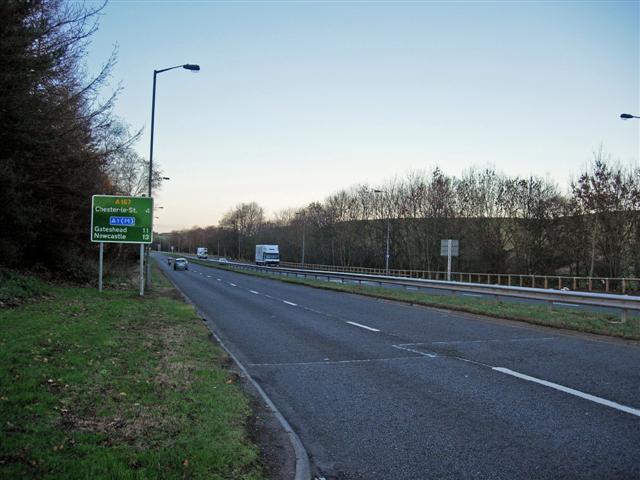
English: A167 at Pity Me The A167 used to be the A1 until the late 1960s when the A1(M) motorway was built 5 miles to the west.
|
| ⧼wm-license-information-date⧽ | 2006 |
| ⧼wm-license-information-source⧽ | From geograph.org.uk |
| ⧼wm-license-information-author⧽ | Brian Abbott |
| ⧼wm-license-cc-attribution⧽ (قالب:I18n/Credit line) |
Brian Abbott / A167 at Pity Me / |
54°48′34″N 1°35′17″W / 54.8095°N 1.588°W قالب:Object location
_heading:0)
ترخيص
تاريخ الملف
اضغط على زمن/تاريخ لرؤية الملف كما بدا في هذا الزمن.
| زمن/تاريخ | صورة مصغرة | الأبعاد | مستخدم | تعليق | |
|---|---|---|---|---|---|
| حالي | ★ مراجعة معتمدة 23:43، 6 أكتوبر 2023 | | 640 × 480 (51 كيلوبايت) | Pastakhov (نقاش | مساهمات) | Upload https://upload.wikimedia.org/wikipedia/commons/9/9b/A167_at_Pity_Me_-_geograph.org.uk_-_294003.jpg |
لا يمكنك استبدال هذا الملف.
وصلات
لا يوجد صفحات تصل لهذه الصورة.