ملف:3327 Le Réolais et Les Bastides canton map.svg

حجم معاينة PNG لذلك الملف ذي الامتداد SVG: 486 × 600 بكسل. البعد الآخر: 1٬660 × 2٬048 بكسل.
الملف الأصلي (ملف SVG، أبعاده 1٬479 × 1٬825 بكسل، حجم الملف: 232 كيلوبايت)
وصف قصير
| ⧼wm-license-information-description⧽ |
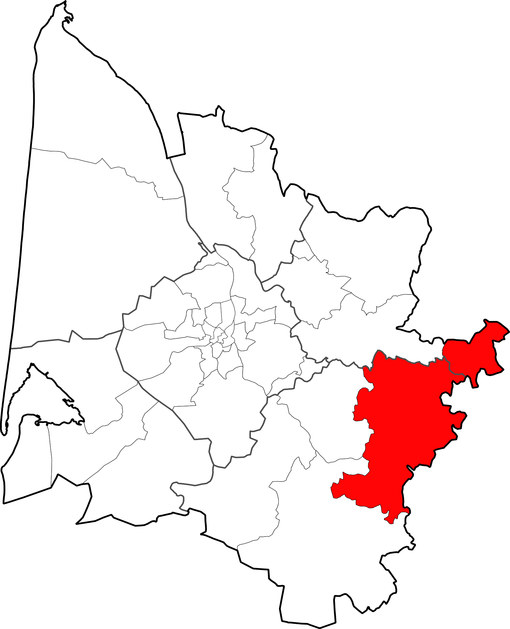
Français : Situation dans le département de la Gironde du canton
du Réolais et des Bastides.
|
| ⧼wm-license-information-date⧽ | 2015, {{time}} – invalid date format 30 (help) |
| ⧼wm-license-information-source⧽ | data.gouv.fr(données GEOFLA du 1er juillet 2015) |
| ⧼wm-license-information-author⧽ | Flappiefh |
ترخيص
|
تاريخ الملف
اضغط على زمن/تاريخ لرؤية الملف كما بدا في هذا الزمن.
| زمن/تاريخ | صورة مصغرة | الأبعاد | مستخدم | تعليق | |
|---|---|---|---|---|---|
| حالي | ★ مراجعة معتمدة 02:17، 18 أكتوبر 2023 | | 1٬479 × 1٬825 (232 كيلوبايت) | Pastakhov (نقاش | مساهمات) | Upload https://upload.wikimedia.org/wikipedia/commons/6/67/3327_Le_R%C3%A9olais_et_Les_Bastides_canton_map.svg |
لا يمكنك استبدال هذا الملف.
وصلات
لا يوجد صفحات تصل لهذه الصورة.