ملف:2015 East Timor Cova Lima locator map.png
حجم هذه المعاينة: 800 × 461 بكسل. البعد الآخر: 3٬344 × 1٬929 بكسل.
الملف الأصلي (3٬344 × 1٬929 بكسل حجم الملف: 176 كيلوبايت، نوع MIME: image/png)
وصف قصير
| ⧼wm-license-information-description⧽ |
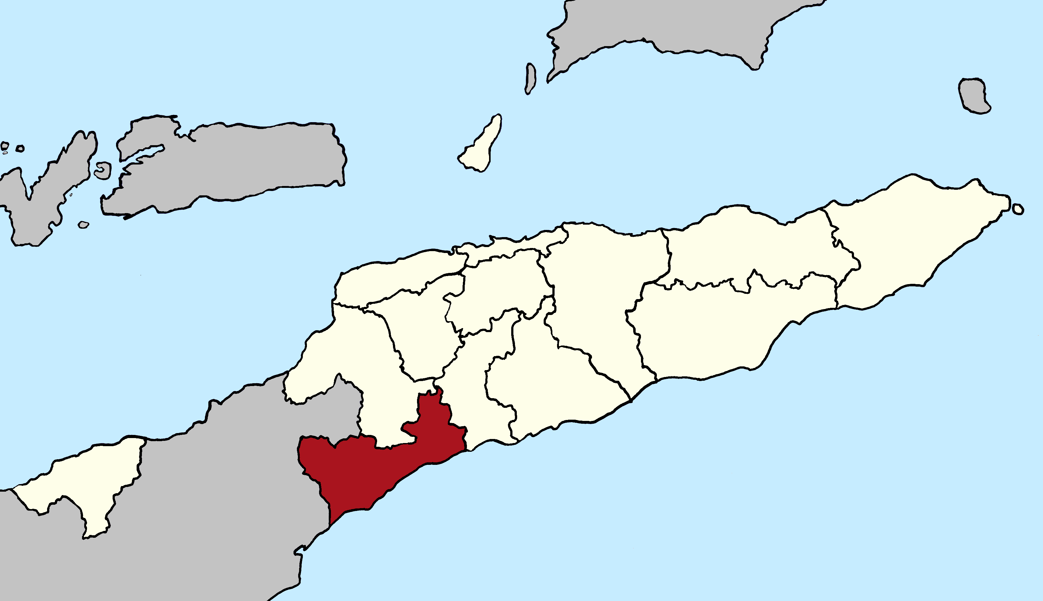
Deutsch: Lagekarte der Gemeinde Cova Lima seit 2015, Osttimor
English: Locator map of Cova Lima municipality since 2015, East Timor
|
| ⧼wm-license-information-date⧽ | 2017 |
| ⧼wm-license-information-source⧽ | ⧼Wm-license-own-work⧽ |
| ⧼wm-license-information-author⧽ | J. Patrick Fischer |
ترخيص
|
تاريخ الملف
اضغط على زمن/تاريخ لرؤية الملف كما بدا في هذا الزمن.
| زمن/تاريخ | صورة مصغرة | الأبعاد | مستخدم | تعليق | |
|---|---|---|---|---|---|
| حالي | ★ مراجعة معتمدة 17:22، 11 أكتوبر 2023 | | 3٬344 × 1٬929 (176 كيلوبايت) | Pastakhov (نقاش | مساهمات) | Upload https://upload.wikimedia.org/wikipedia/commons/e/eb/2015_East_Timor_Cova_Lima_locator_map.png |
لا يمكنك استبدال هذا الملف.
وصلات
لا يوجد صفحات تصل لهذه الصورة.