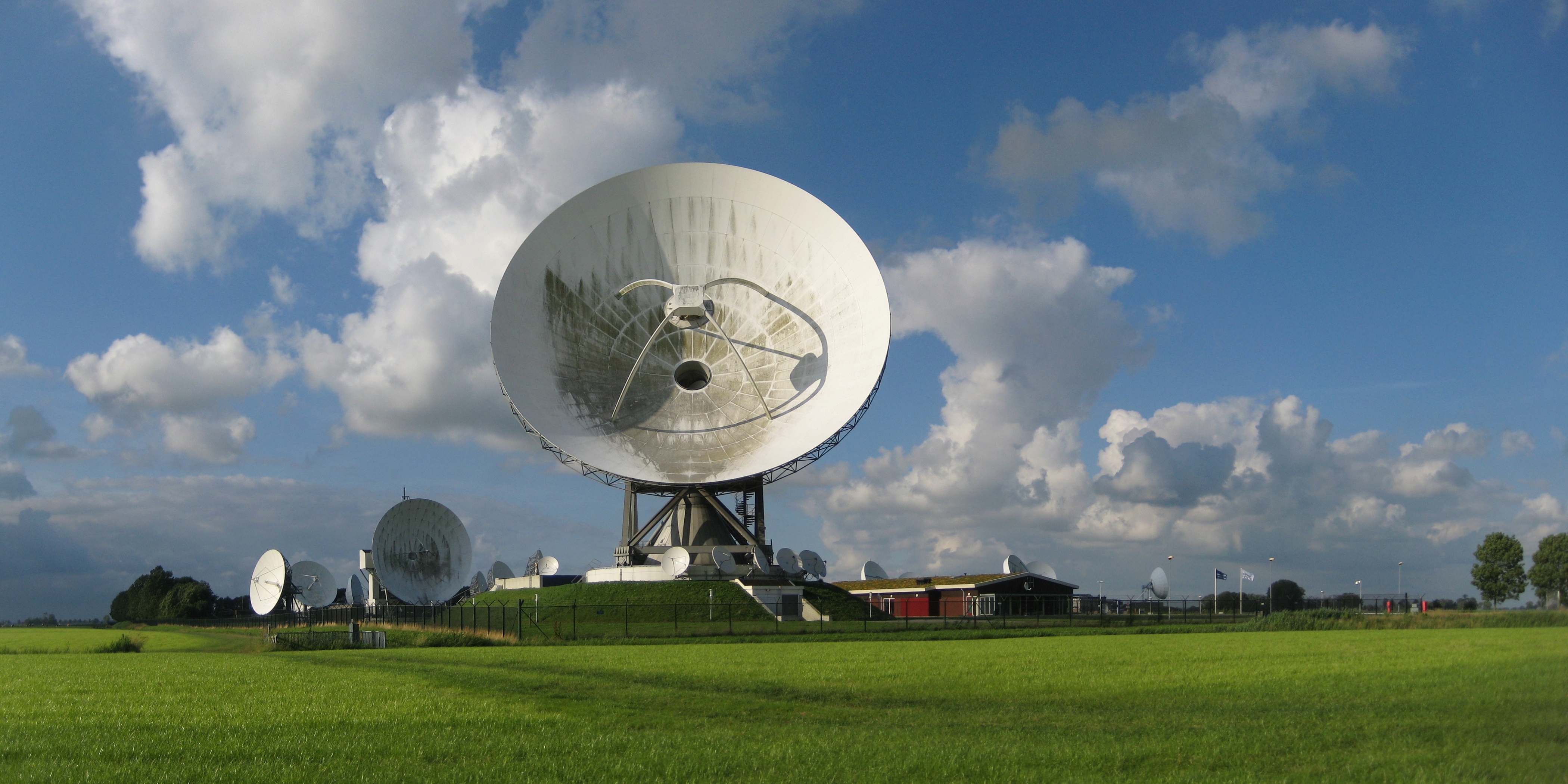
ملف:20120715 Grondstation Nationale SIGINT Organisatie (NSO) Burum Fr NL.jpg
حجم هذه المعاينة: 800 × 400 بكسل. البعدان الآخران: 2٬560 × 1٬280 بكسل | 4٬200 × 2٬100 بكسل.
الملف الأصلي (4٬200 × 2٬100 بكسل حجم الملف: 2٫09 ميجابايت، نوع MIME: image/jpeg)
| ⧼wm-license-information-description⧽ | |||
| ⧼wm-license-information-date⧽ | 2012 | ||
| ⧼wm-license-information-source⧽ | ⧼Wm-license-own-work⧽ | ||
| ⧼wm-license-information-author⧽ | Wutsje | ||
| ⧼wm-license-cc-attribution⧽ (قالب:I18n/Credit line) |
Wutsje / Wikimedia Commons / | ||
| ⧼wm-license-information-permission⧽ (⧼wm-license-information-permission-reusing-text⧽) |
|
53°16′53.45″N 6°12′45.31″E / 53.2815139°N 6.2125861°E قالب:QualityImage
_Burum_Fr_NL.jpg¶ms=53_16_53.45_N_6_12_45.31_E_scale:5000_region:NL_heading:060)
تاريخ الملف
اضغط على زمن/تاريخ لرؤية الملف كما بدا في هذا الزمن.
| زمن/تاريخ | صورة مصغرة | الأبعاد | مستخدم | تعليق | |
|---|---|---|---|---|---|
| حالي | ★ مراجعة معتمدة 06:58، 4 ديسمبر 2023 | | 4٬200 × 2٬100 (2٫09 ميجابايت) | Pastakhov (نقاش | مساهمات) | Upload https://upload.wikimedia.org/wikipedia/commons/7/73/20120715_Grondstation_Nationale_SIGINT_Organisatie_%28NSO%29_Burum_Fr_NL.jpg |
لا يمكنك استبدال هذا الملف.
وصلات
الصفحات التالية تحتوي على وصلة لهذه الصورة:
_Burum_Fr_NL.jpg&oldid=3686992)