ملف:00 0847 Col du Tourmalet in the Pyrenees.jpg
حجم هذه المعاينة: 800 × 533 بكسل. البعدان الآخران: 2٬560 × 1٬707 بكسل | 3٬300 × 2٬200 بكسل.
الملف الأصلي (3٬300 × 2٬200 بكسل حجم الملف: 8٫11 ميجابايت، نوع MIME: image/jpeg)
وصف قصير
| ⧼wm-license-information-description⧽ |
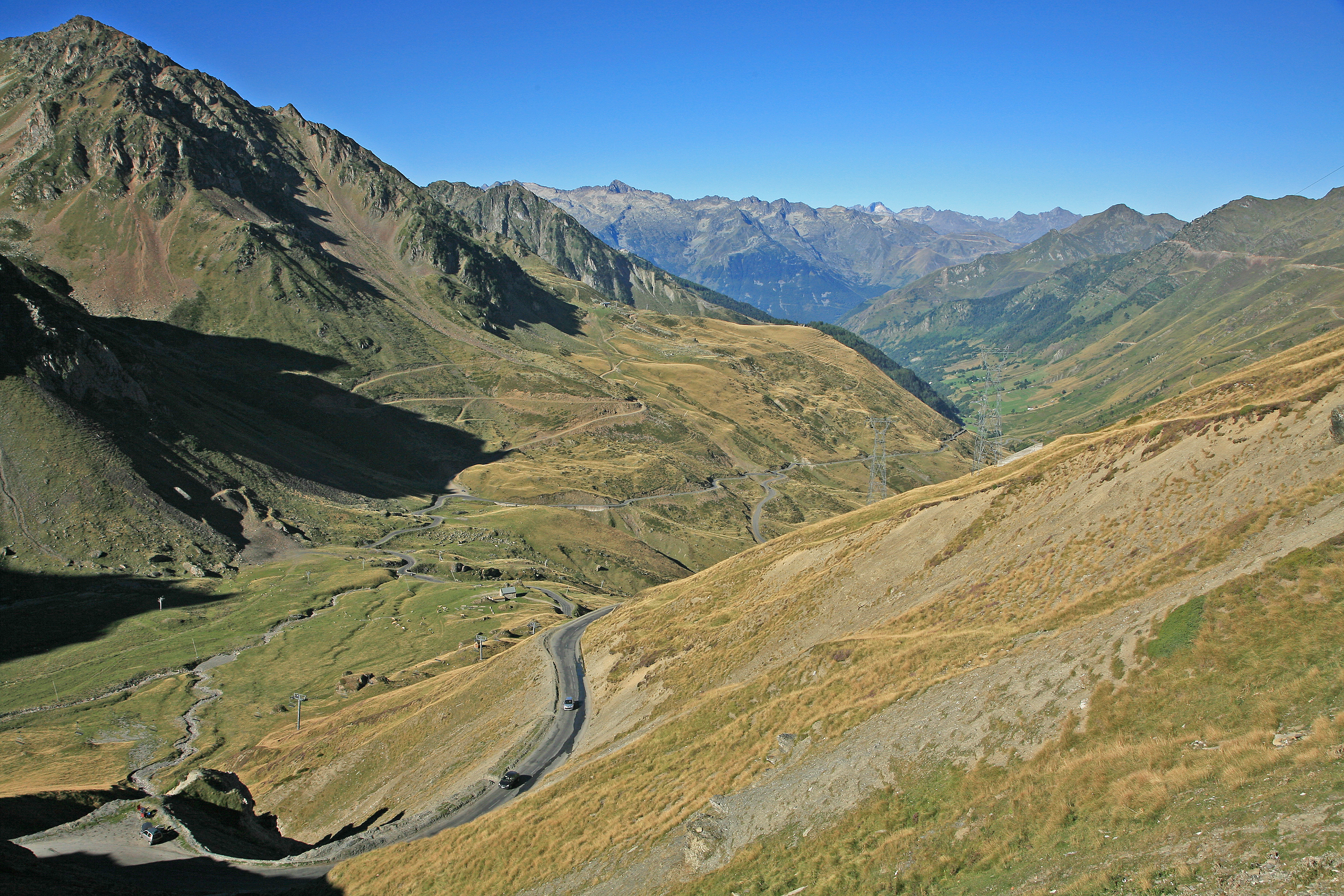
Deutsch: Der Col du Tourmalet liegt auf der Nordseite der Pyrenäen an der D 918. Er ist mit 2.115 Metern über dem Meeresspiegel der höchste Straßenpass der Pyrenäen und einer der Klassiker der Tour de France.
English: The Col du Tourmalet is located on the north side of the Pyrenees on the D 918. At 2,115 meters above sea level, it is the highest road pass in the Pyrenees and one of the classics of the Tour de France.
|
| ⧼wm-license-information-date⧽ | 2007, {{time}} – invalid date format 25 (help) |
| ⧼wm-license-information-source⧽ | ⧼Wm-license-own-work⧽ |
| ⧼wm-license-information-author⧽ | W. Bulach |
42°54′29″N 0°08′48″E / 42.908158°N 0.146639°E
ترخيص
|
تاريخ الملف
اضغط على زمن/تاريخ لرؤية الملف كما بدا في هذا الزمن.
| زمن/تاريخ | صورة مصغرة | الأبعاد | مستخدم | تعليق | |
|---|---|---|---|---|---|
| حالي | ★ مراجعة معتمدة 20:17، 8 أكتوبر 2023 | | 3٬300 × 2٬200 (8٫11 ميجابايت) | Pastakhov (نقاش | مساهمات) | Upload https://upload.wikimedia.org/wikipedia/commons/1/10/00_0847_Col_du_Tourmalet_in_the_Pyrenees.jpg |
لا يمكنك استبدال هذا الملف.
وصلات
لا يوجد صفحات تصل لهذه الصورة.