ملف:(Peta Lokasi) Kecamatan Padang Barat, Kota Padang.svg

حجم معاينة PNG لذلك الملف ذي الامتداد SVG: 420 × 600 بكسل. البعد الآخر: 1٬433 × 2٬048 بكسل.
الملف الأصلي (ملف SVG، أبعاده 1٬400 × 2٬000 بكسل، حجم الملف: 138 كيلوبايت)

|
[This image was moved to Wikimedia Commons from id.wikipedia using a bot script. All source information is still present. It requires review. Additionally, there may be errors in any or all of the information fields; information on this image should not be considered reliable and the image should not be used until it has been reviewed and any needed corrections have been made. Once the review has been completed, this template should be removed. For details, see below. Check now!] Error: {{Lang}}: text has italic markup (help)
Afrikaans | Deutsch | English | suomi | français | עברית | Plattdüütsch | Nederlands | русский | ไทย | +/− |
_Kecamatan_Padang_Barat,_Kota_Padang.svg&action=edit&withJS=MediaWiki:Botcheck.js)
وصف قصير
| ⧼wm-license-information-description⧽ |
(إندونيسية) |
| ⧼wm-license-information-date⧽ | قالب:Original upload date |
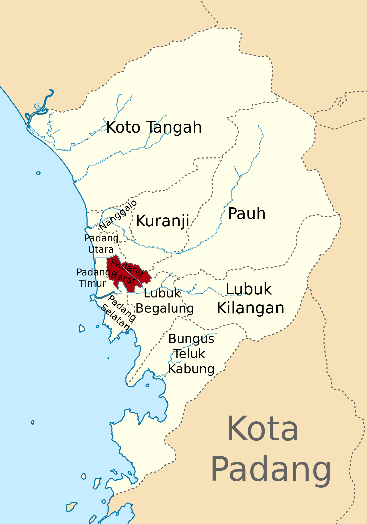
| ⧼wm-license-information-source⧽ | Own work based on the map of Padang City |
| ⧼wm-license-information-author⧽ | Christian Advs Sltg |
ترخيص
|
قالب:Original upload log
| زمن/تاريخ | الأبعاد | مستخدم | تعليق |
|---|---|---|---|
| 2013-12-27 18:33 | 1400×2000× (141415 bytes) | 27christian11 | |
| 2013-12-27 18:23 | 1400×2000× (140666 bytes) | 27christian11 | Peta Lokasi Kecamatan __ Kota Padang [[Kategori:Peta penunjuk posisi di Indonesia]] |
تاريخ الملف
اضغط على زمن/تاريخ لرؤية الملف كما بدا في هذا الزمن.
| زمن/تاريخ | صورة مصغرة | الأبعاد | مستخدم | تعليق | |
|---|---|---|---|---|---|
| حالي | ★ مراجعة معتمدة 18:01، 18 ديسمبر 2023 | | 1٬400 × 2٬000 (138 كيلوبايت) | Pastakhov (نقاش | مساهمات) | Upload https://upload.wikimedia.org/wikipedia/commons/1/14/%28Peta_Lokasi%29_Kecamatan_Padang_Barat%2C_Kota_Padang.svg |
لا يمكنك استبدال هذا الملف.
وصلات
لا يوجد صفحات تصل لهذه الصورة.
_Kecamatan_Padang_Barat,_Kota_Padang.svg&oldid=3808643)