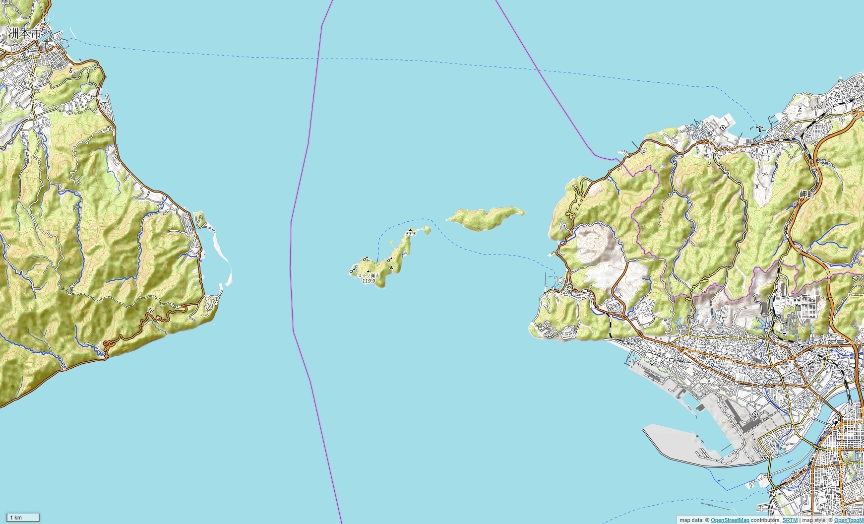
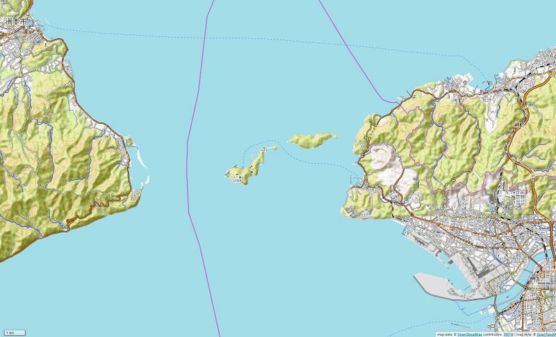
ملف:紀淡海峡地図000.jpg
حجم هذه المعاينة: 800 × 485 بكسل. البعد الآخر: 1٬742 × 1٬056 بكسل.
الملف الأصلي (1٬742 × 1٬056 بكسل حجم الملف: 934 كيلوبايت، نوع MIME: image/jpeg)
وصف قصير
| ⧼wm-license-information-description⧽ |
(Japanese) English: map of Kitan Strait
|
| ⧼wm-license-information-date⧽ | 2019 |
| ⧼wm-license-information-source⧽ | |
| ⧼wm-license-information-author⧽ |
|
ترخيص
|
- Map data (c) OpenStreetMap (and) contributors, CC-BY-SA
- Map data (c) OpenTopoMap, CC-BY-SA
تاريخ الملف
اضغط على زمن/تاريخ لرؤية الملف كما بدا في هذا الزمن.
| زمن/تاريخ | صورة مصغرة | الأبعاد | مستخدم | تعليق | |
|---|---|---|---|---|---|
| حالي | ★ مراجعة معتمدة 09:16، 30 نوفمبر 2023 | | 1٬742 × 1٬056 (934 كيلوبايت) | Pastakhov (نقاش | مساهمات) | Upload https://upload.wikimedia.org/wikipedia/commons/f/f4/%E7%B4%80%E6%B7%A1%E6%B5%B7%E5%B3%A1%E5%9C%B0%E5%9B%B3000.jpg |
لا يمكنك استبدال هذا الملف.
وصلات
لا يوجد صفحات تصل لهذه الصورة.