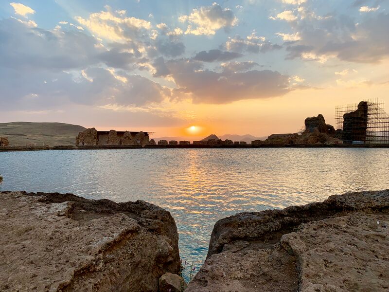
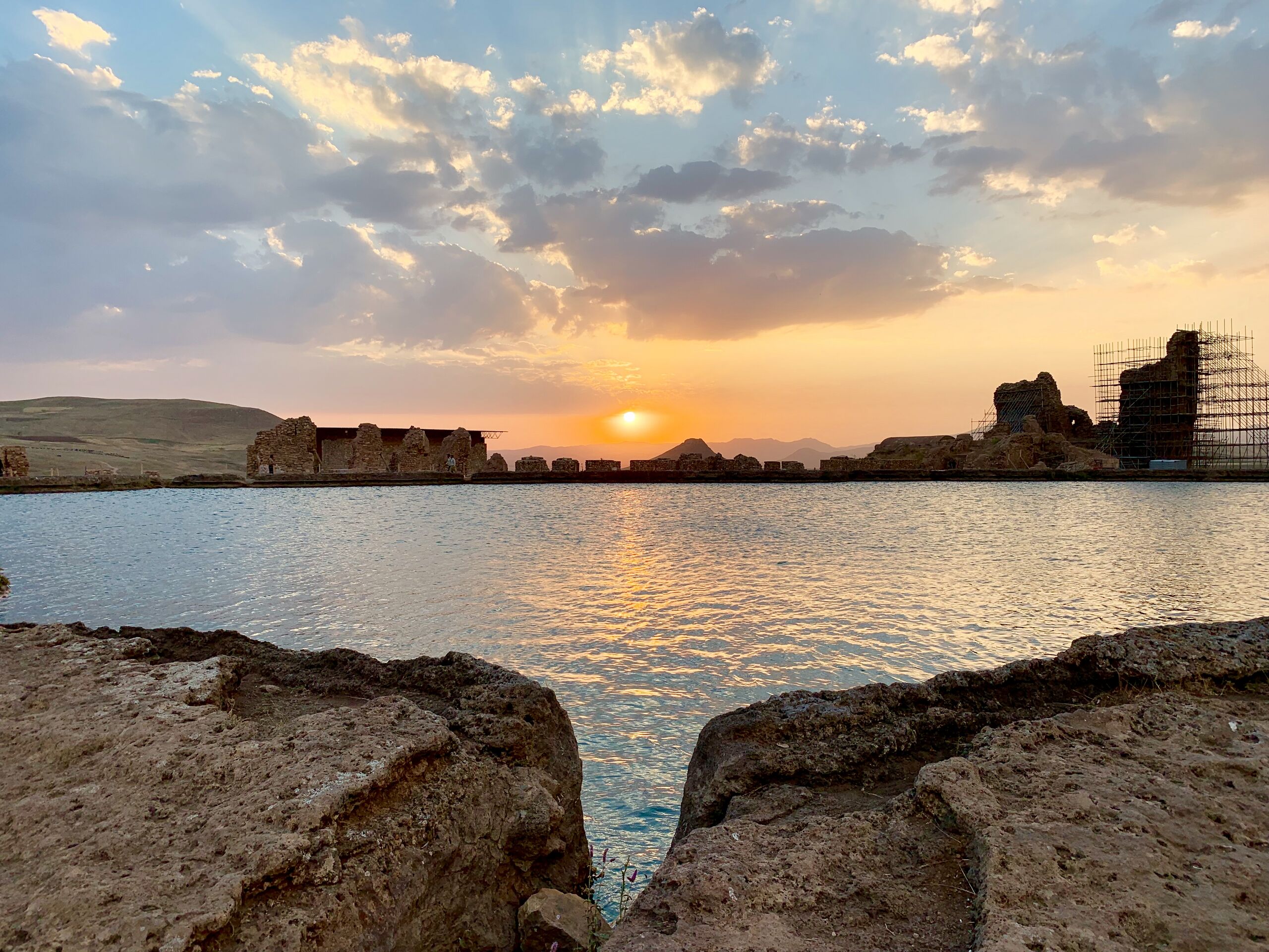
ملف:غروب دریاچه.jpg

حجم هذه المعاينة: 800 × 600 بكسل. البعدان الآخران: 2٬560 × 1٬920 بكسل | 4٬032 × 3٬024 بكسل.
الملف الأصلي (4٬032 × 3٬024 بكسل حجم الملف: 3٫93 ميجابايت، نوع MIME: image/jpeg)
وصف قصير
| ⧼wm-license-information-description⧽ |
(فارسية)قالب:Cultural Heritage Iran |
| ⧼wm-license-information-date⧽ | 2019, {{time}} – invalid date format 01 (help) |
| ⧼wm-license-information-source⧽ | ⧼Wm-license-own-work⧽ |
| ⧼wm-license-information-author⧽ | Asal Vaseghnia |
36°36′14″N 47°14′07″E / 36.603925°N 47.235294°E
ترخيص
|
تاريخ الملف
اضغط على زمن/تاريخ لرؤية الملف كما بدا في هذا الزمن.
| زمن/تاريخ | صورة مصغرة | الأبعاد | مستخدم | تعليق | |
|---|---|---|---|---|---|
| حالي | ★ مراجعة معتمدة 00:23، 30 أكتوبر 2023 | | 4٬032 × 3٬024 (3٫93 ميجابايت) | Pastakhov (نقاش | مساهمات) | Upload https://upload.wikimedia.org/wikipedia/commons/1/14/%D8%BA%D8%B1%D9%88%D8%A8_%D8%AF%D8%B1%DB%8C%D8%A7%DA%86%D9%87.jpg |
لا يمكنك استبدال هذا الملف.
وصلات
لا يوجد صفحات تصل لهذه الصورة.