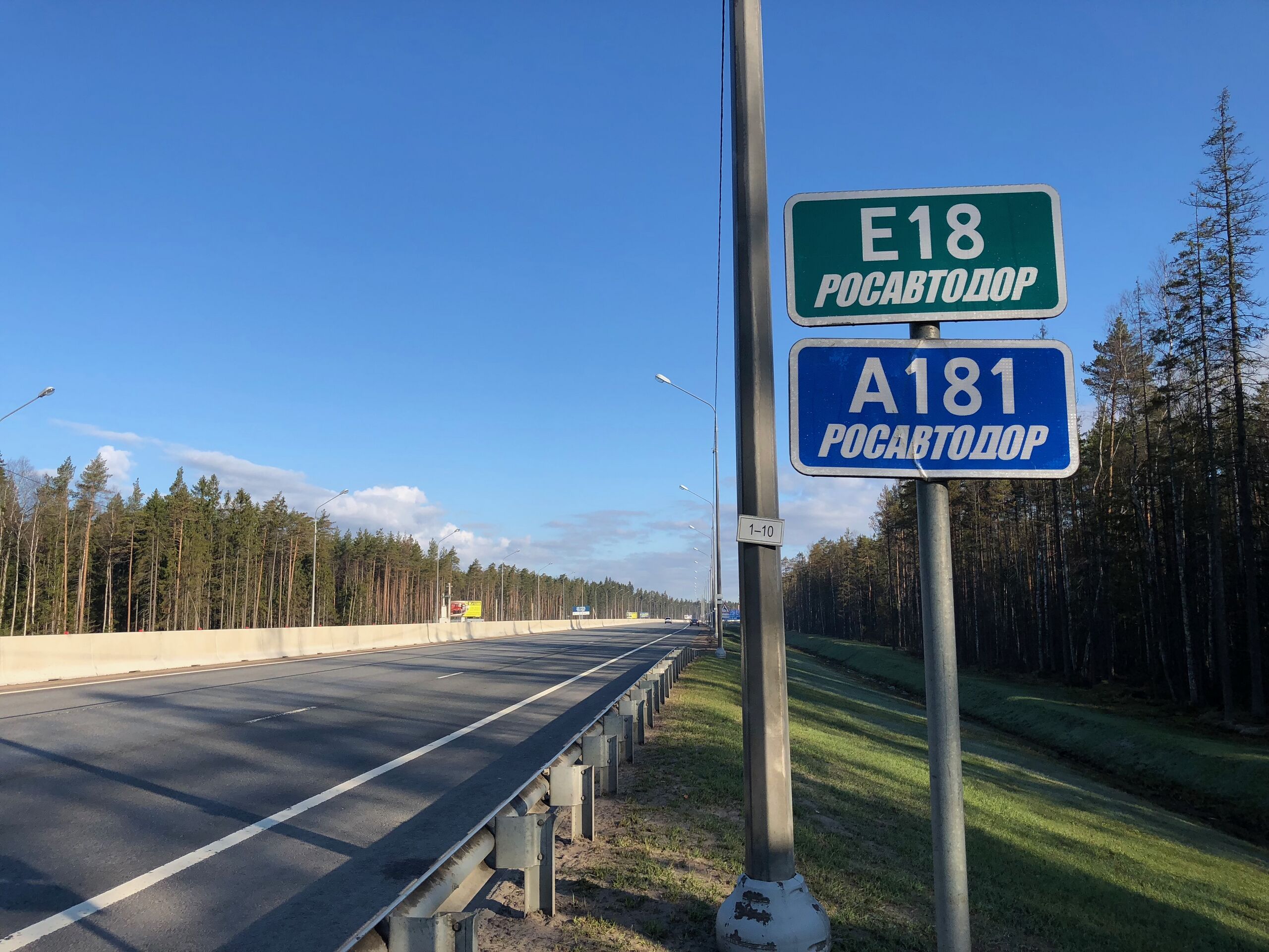
ملف:Конечная точка трассы Е18 180429.jpg

حجم هذه المعاينة: 800 × 600 بكسل. البعدان الآخران: 2٬560 × 1٬920 بكسل | 4٬032 × 3٬024 بكسل.
الملف الأصلي (4٬032 × 3٬024 بكسل حجم الملف: 2٫31 ميجابايت، نوع MIME: image/jpeg)
وصف قصير
| ⧼wm-license-information-description⧽ | |
| ⧼wm-license-information-date⧽ | 2018 |
| ⧼wm-license-information-source⧽ | ⧼Wm-license-own-work⧽ |
| ⧼wm-license-information-author⧽ | Grigorius m |
60°10′41.34″N 29°57′34.86″E / 60.1781500°N 29.9596833°E
ترخيص
|
تاريخ الملف
اضغط على زمن/تاريخ لرؤية الملف كما بدا في هذا الزمن.
| زمن/تاريخ | صورة مصغرة | الأبعاد | مستخدم | تعليق | |
|---|---|---|---|---|---|
| حالي | ★ مراجعة معتمدة 04:06، 17 أكتوبر 2023 | | 4٬032 × 3٬024 (2٫31 ميجابايت) | Pastakhov (نقاش | مساهمات) | Upload https://upload.wikimedia.org/wikipedia/commons/0/0f/%D0%9A%D0%BE%D0%BD%D0%B5%D1%87%D0%BD%D0%B0%D1%8F_%D1%82%D0%BE%D1%87%D0%BA%D0%B0_%D1%82%D1%80%D0%B0%D1%81%D1%81%D1%8B_%D0%9518_180429.jpg |
لا يمكنك استبدال هذا الملف.
وصلات
لا يوجد صفحات تصل لهذه الصورة.