ملف:Ōhinetamatea River MRD 01.jpg

حجم هذه المعاينة: 800 × 600 بكسل. البعدان الآخران: 2٬560 × 1٬920 بكسل | 4٬032 × 3٬024 بكسل.
الملف الأصلي (4٬032 × 3٬024 بكسل حجم الملف: 6٫56 ميجابايت، نوع MIME: image/jpeg)
وصف قصير
| ⧼wm-license-information-description⧽ |
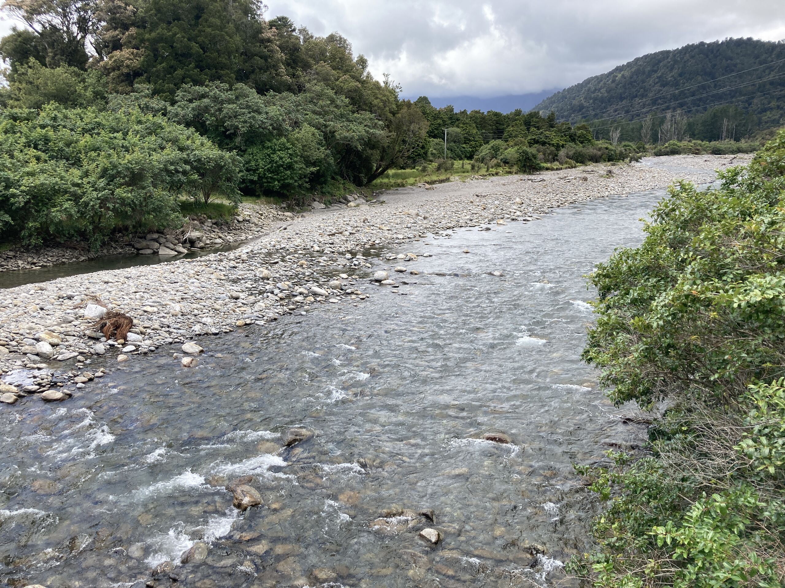
English: The Ōhinetamatea River in South Westland, New Zealand flows from the Copland Range into the Cook River valley, and is known as Saltwater Creek in its lower reaches.
|
| ⧼wm-license-information-date⧽ | 2021, {{time}} – invalid date format 04 (help) |
| ⧼wm-license-information-source⧽ | ⧼Wm-license-own-work⧽ |
| ⧼wm-license-information-author⧽ | صانع:Mike Dickison |
43°29′17″S 169°54′09″E / 43.48795°S 169.902572°E
ترخيص
تاريخ الملف
اضغط على زمن/تاريخ لرؤية الملف كما بدا في هذا الزمن.
| زمن/تاريخ | صورة مصغرة | الأبعاد | مستخدم | تعليق | |
|---|---|---|---|---|---|
| حالي | ★ مراجعة معتمدة 23:30، 13 أكتوبر 2023 | | 4٬032 × 3٬024 (6٫56 ميجابايت) | Pastakhov (نقاش | مساهمات) | Upload https://upload.wikimedia.org/wikipedia/commons/0/0c/%C5%8Chinetamatea_River_MRD_01.jpg |
لا يمكنك استبدال هذا الملف.
وصلات
لا يوجد صفحات تصل لهذه الصورة.