ملف:Wellington City within Wellington Region.png
حجم هذه المعاينة: 800 × 545 بكسل. البعد الآخر: 1٬214 × 827 بكسل.
الملف الأصلي (1٬214 × 827 بكسل حجم الملف: 20 كيلوبايت، نوع MIME: image/png)
وصف قصير
| ⧼wm-license-information-description⧽ |
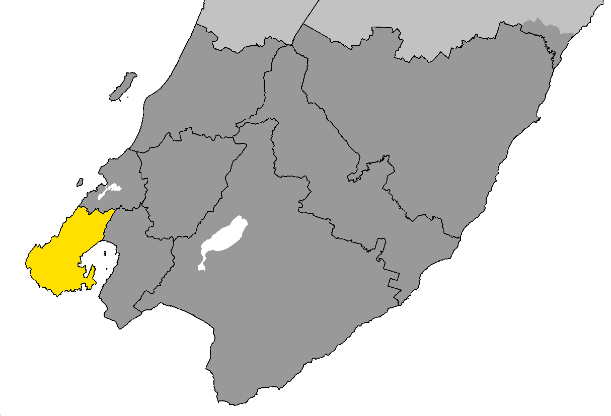
English: Wellington City (in yellow) within Wellington Region (dark grey)
|
| ⧼wm-license-information-date⧽ | 2009 |
| ⧼wm-license-information-source⧽ | I (Ben Arnold (talk)) created this work from GIS data supplied by Statistics New Zealand. |
| ⧼wm-license-information-author⧽ | Ben Arnold (talk) |
ترخيص
تاريخ الملف
اضغط على زمن/تاريخ لرؤية الملف كما بدا في هذا الزمن.
| زمن/تاريخ | صورة مصغرة | الأبعاد | مستخدم | تعليق | |
|---|---|---|---|---|---|
| حالي | ★ مراجعة معتمدة 09:13، 30 نوفمبر 2023 | | 1٬214 × 827 (20 كيلوبايت) | Pastakhov (نقاش | مساهمات) | Upload https://upload.wikimedia.org/wikipedia/commons/d/d0/Wellington_City_within_Wellington_Region.png |
لا يمكنك استبدال هذا الملف.
وصلات
لا يوجد صفحات تصل لهذه الصورة.