ملف:Torna Lund.png
حجم هذه المعاينة: 776 × 600 بكسل. البعد الآخر: 1٬113 × 860 بكسل.
الملف الأصلي (1٬113 × 860 بكسل حجم الملف: 643 كيلوبايت، نوع MIME: image/png)
| ⧼wm-license-information-description⧽ |
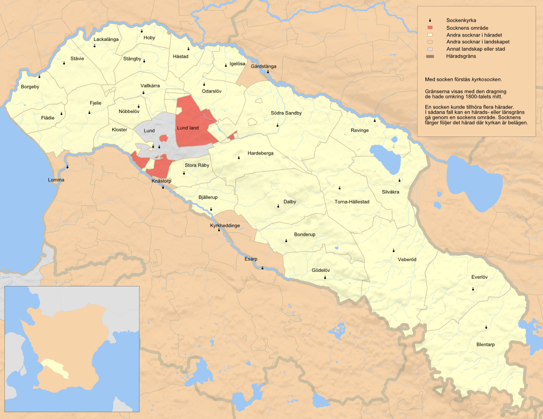
English: Map showing the parish Lund in the hundred of Torna, Skåne, Sweden. Based on Generalstabskartan and häradsekonomiska kartan, relief from a digital elevation model of the Shuttle Radar Topography Mission. Small map made with data from Natural Earth. Terrain mostly reflecting situation in the early 1900s, borders before 1880s
|
| ⧼wm-license-information-date⧽ | 2011-08-26 08:45 (UTC) |
| ⧼wm-license-information-source⧽ | |
| ⧼wm-license-information-author⧽ |
|
| [This is a retouched picture, which means that it has been digitally altered from its original version. Modifications: png-version. The original can be viewed here: Torna_Lund.svg. Modifications made by Edaen.] Error: {{Lang}}: text has italic markup (help)
|
|
قالب:Original upload log
This image is a derivative work of the following images:
- File:Torna_Lund.svg licensed with Cc-by-sa-3.0
- 2011-08-25T18:29:30Z Edaen 1122x862 (2887799 Bytes) {{Information |Description={{en|1=Map showing the parish Lund in the hundred of Torna, Skåne, Sweden. Based on [http://historiskakartor.lantmateriet.se/arken/s/searchresult.html?series=3&countyRAK=m&page=J243-8-1&archive=RAK
تاريخ الملف
اضغط على زمن/تاريخ لرؤية الملف كما بدا في هذا الزمن.
| زمن/تاريخ | صورة مصغرة | الأبعاد | مستخدم | تعليق | |
|---|---|---|---|---|---|
| حالي | ★ مراجعة معتمدة 06:53، 2 نوفمبر 2023 | | 1٬113 × 860 (643 كيلوبايت) | Pastakhov (نقاش | مساهمات) | Upload https://upload.wikimedia.org/wikipedia/commons/d/dd/Torna_Lund.png |
لا يمكنك استبدال هذا الملف.
وصلات
لا يوجد صفحات تصل لهذه الصورة.