ملف:Mount Pico De Loro.jpg
حجم هذه المعاينة: 800 × 571 بكسل. البعد الآخر: 1٬719 × 1٬228 بكسل.
الملف الأصلي (1٬719 × 1٬228 بكسل حجم الملف: 306 كيلوبايت، نوع MIME: image/jpeg)
وصف قصير
| ⧼wm-license-information-description⧽ |
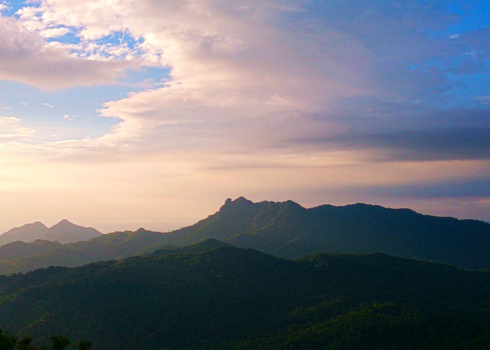
English: Mount Pico De Loro as taken from a vantage point at the summit of Mt. Marami at about five kilometers away. Photo shows Mt. Dos Picos at foreground and Mt. Naligang at background. Shot by Schadow1 Expeditions during its mapping expedition for the Mataas na Gulod Palay-Palay mountain range last 2014.
|
|||||
| ⧼wm-license-information-date⧽ | 2014, {{time}} – invalid date format 49 (help) | |||||
| ⧼wm-license-information-source⧽ | ⧼Wm-license-own-work⧽ | |||||
| ⧼wm-license-information-author⧽ | Ervin Malicdem | |||||
| ⧼wm-license-information-permission⧽ (⧼wm-license-information-permission-reusing-text⧽) |
|

قالب:Location dec Initially published at Schadow1 Expeditions article available at http://www.s1expeditions.com/2014/12/168-palaypalay-gulod-megatraverse.html
تاريخ الملف
اضغط على زمن/تاريخ لرؤية الملف كما بدا في هذا الزمن.
| زمن/تاريخ | صورة مصغرة | الأبعاد | مستخدم | تعليق | |
|---|---|---|---|---|---|
| حالي | ★ مراجعة معتمدة 19:28، 27 أكتوبر 2023 | | 1٬719 × 1٬228 (306 كيلوبايت) | Pastakhov (نقاش | مساهمات) | Upload https://upload.wikimedia.org/wikipedia/commons/8/85/Mount_Pico_De_Loro.jpg |
لا يمكنك استبدال هذا الملف.
وصلات
لا يوجد صفحات تصل لهذه الصورة.