ملف:Kataja-en.svg

حجم معاينة PNG لذلك الملف ذي الامتداد SVG: 557 × 599 بكسل. البعد الآخر: 1٬904 × 2٬048 بكسل.
الملف الأصلي (ملف SVG، أبعاده 1٬134 × 1٬220 بكسل، حجم الملف: 31 كيلوبايت)
وصف قصير
| ⧼wm-license-information-description⧽ |
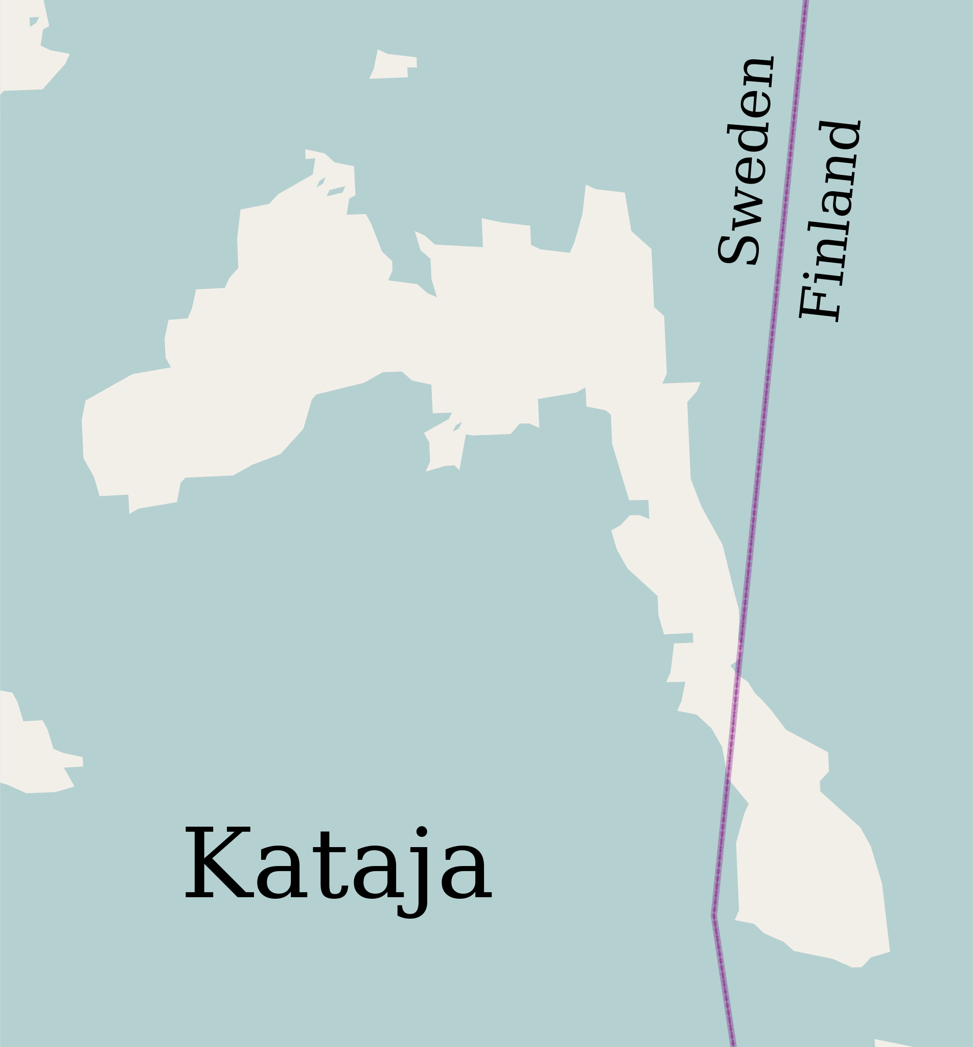
English: Map of the islet of Kataja, divided between Sweden and Finland.
|
| ⧼wm-license-information-date⧽ | 2012-08-18 12:58 (UTC) |
| ⧼wm-license-information-source⧽ | قالب:Derived from |
| ⧼wm-license-information-author⧽ |
| [This is a retouched picture, which means that it has been digitally altered from its original version. Modifications: Translated to English. The original can be viewed here: Катая.svg. Modifications made by Antilope.] Error: {{Lang}}: text has italic markup (help)
|
ترخيص
قالب:Original upload log
This image is a derivative work of the following images:
- File:Катая.svg licensed with Cc-by-sa-2.0
- 2010-12-11T15:41:26Z Insider 1134x1220 (31870 Bytes) == Summary == {{ru|1=Остров Катая}} {{OpenStreetMap}} [[Category:Islands of Finland]] [[Category:Islands of Sweden]] [[Category:Islands of the Baltic Sea]] [[Category:International islands]]
تاريخ الملف
اضغط على زمن/تاريخ لرؤية الملف كما بدا في هذا الزمن.
| زمن/تاريخ | صورة مصغرة | الأبعاد | مستخدم | تعليق | |
|---|---|---|---|---|---|
| حالي | ★ مراجعة معتمدة 04:04، 13 نوفمبر 2023 | | 1٬134 × 1٬220 (31 كيلوبايت) | Pastakhov (نقاش | مساهمات) | Upload https://upload.wikimedia.org/wikipedia/commons/b/b2/Kataja-en.svg |
لا يمكنك استبدال هذا الملف.
وصلات
لا يوجد صفحات تصل لهذه الصورة.