ملف:Eling Church - geograph.org.uk - 332116.jpg
لا توجد دقة أعلى متوفرة.
Eling_Church_-_geograph.org.uk_-_332116.jpg (640 × 463 بكسل حجم الملف: 131 كيلوبايت، نوع MIME: image/jpeg)
وصف قصير
| ⧼wm-license-information-description⧽ |
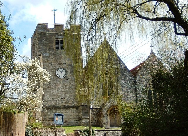
English: Eling Church With the tide mill and toll bridge behind me this is the view looking up the hill to the church
|
| ⧼wm-license-information-date⧽ | 2006 |
| ⧼wm-license-information-source⧽ | From geograph.org.uk |
| ⧼wm-license-information-author⧽ | Gillian Moy |
50°54′38″N 1°28′53″W / 50.91050°N 1.4814°W قالب:Object location
_heading:90)
ترخيص
تاريخ الملف
اضغط على زمن/تاريخ لرؤية الملف كما بدا في هذا الزمن.
| زمن/تاريخ | صورة مصغرة | الأبعاد | مستخدم | تعليق | |
|---|---|---|---|---|---|
| حالي | ★ مراجعة معتمدة 21:31، 27 أكتوبر 2023 | | 640 × 463 (131 كيلوبايت) | Pastakhov (نقاش | مساهمات) | Upload https://upload.wikimedia.org/wikipedia/commons/c/c4/Eling_Church_-_geograph.org.uk_-_332116.jpg |
لا يمكنك استبدال هذا الملف.
وصلات
لا يوجد صفحات تصل لهذه الصورة.