ملف:Mníšek pod Brdy, náměstí, autobusová zastávka (01).jpg

حجم هذه المعاينة: 800 × 600 بكسل. البعدان الآخران: 2٬560 × 1٬920 بكسل | 3٬264 × 2٬448 بكسل.
الملف الأصلي (3٬264 × 2٬448 بكسل حجم الملف: 1٫82 ميجابايت، نوع MIME: image/jpeg)
| ⧼wm-license-information-description⧽ |
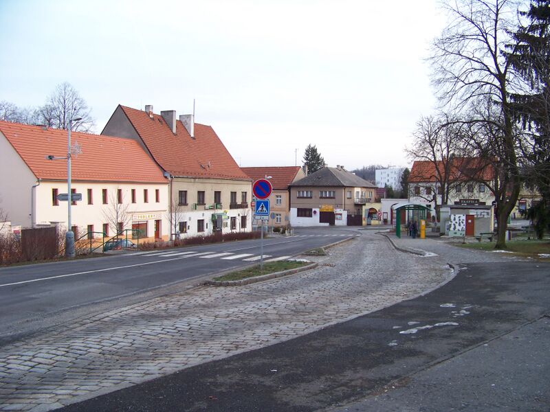
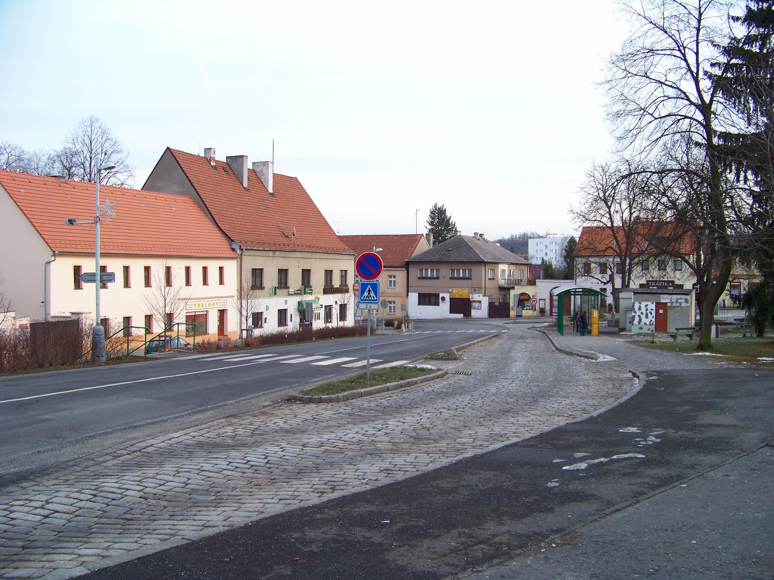
(بالتشيكية) English: Mníšek pod Brdy, Prague-West District, Central Bohemian Region, the Czech Republic. F. X. Svoboda's Square. The bus stop.
|
|||
| ⧼wm-license-information-date⧽ | 2009 | |||
| ⧼wm-license-information-source⧽ | ⧼Wm-license-own-work⧽ | |||
| ⧼wm-license-information-author⧽ | cs:ŠJů | |||
| ⧼wm-license-information-permission⧽ (⧼wm-license-information-permission-reusing-text⧽) |
|
.jpg¶ms=49_52_00.5_N_14_15_38.4_E_region:CZ_heading:110)
تاريخ الملف
اضغط على زمن/تاريخ لرؤية الملف كما بدا في هذا الزمن.
| زمن/تاريخ | صورة مصغرة | الأبعاد | مستخدم | تعليق | |
|---|---|---|---|---|---|
| حالي | ★ مراجعة معتمدة 17:22، 4 ديسمبر 2023 | | 3٬264 × 2٬448 (1٫82 ميجابايت) | Pastakhov (نقاش | مساهمات) | Upload https://upload.wikimedia.org/wikipedia/commons/d/d6/Mn%C3%AD%C5%A1ek_pod_Brdy%2C_n%C3%A1m%C4%9Bst%C3%AD%2C_autobusov%C3%A1_zast%C3%A1vka_%2801%29.jpg |
لا يمكنك استبدال هذا الملف.
وصلات
لا يوجد صفحات تصل لهذه الصورة.
.jpg&oldid=3695022)