ملف:Kazakhstan Turkey Locator.png
لا توجد دقة أعلى متوفرة.
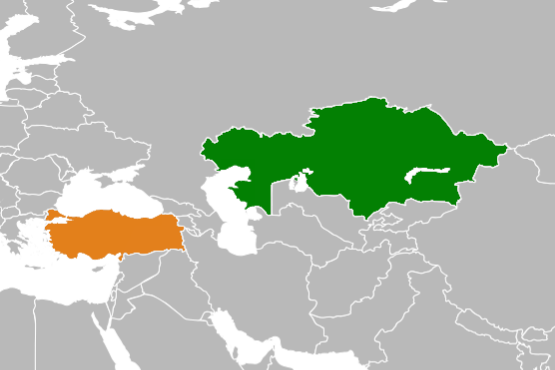
Kazakhstan_Turkey_Locator.png (555 × 370 بكسل حجم الملف: 59 كيلوبايت، نوع MIME: image/png)
وصف قصير
| ⧼wm-license-information-description⧽ |
English: Bilateral locator map of Kazakhstan and Turkey.
|
| ⧼wm-license-information-date⧽ | قالب:Original upload date |
| ⧼wm-license-information-source⧽ | ⧼Wm-license-own-work⧽ |
| ⧼wm-license-information-author⧽ | Aridd |
ترخيص
| [ This image has been (or is hereby) released into the public domain by its author, Aridd at the wikipedia project. This applies worldwide. In case this is not legally possible: Deutsch · Ελληνικά · English · Plattdüütsch · 中文(简体) · 中文(繁體) · +/− |
قالب:Original upload log
قالب:Original description page
- 2008-10-11 12:25 Aridd 319×275× (8648 bytes) Kazakhstan / Turkey locator. Own work, adapted by Wikipedia blank map. Intended for article [[Kazakhstan-Turkey relations]].
تاريخ الملف
اضغط على زمن/تاريخ لرؤية الملف كما بدا في هذا الزمن.
| زمن/تاريخ | صورة مصغرة | الأبعاد | مستخدم | تعليق | |
|---|---|---|---|---|---|
| حالي | ★ مراجعة معتمدة 04:02، 4 نوفمبر 2023 | | 555 × 370 (59 كيلوبايت) | Pastakhov (نقاش | مساهمات) | Upload https://upload.wikimedia.org/wikipedia/commons/c/c5/Kazakhstan_Turkey_Locator.png |
لا يمكنك استبدال هذا الملف.
وصلات
لا يوجد صفحات تصل لهذه الصورة.