ملف:Ingata.jpg
حجم هذه المعاينة: 800 × 449 بكسل. البعد الآخر: 2٬592 × 1٬456 بكسل.
الملف الأصلي (2٬592 × 1٬456 بكسل حجم الملف: 1٫11 ميجابايت، نوع MIME: image/jpeg)
وصف قصير
| ⧼wm-license-information-description⧽ |
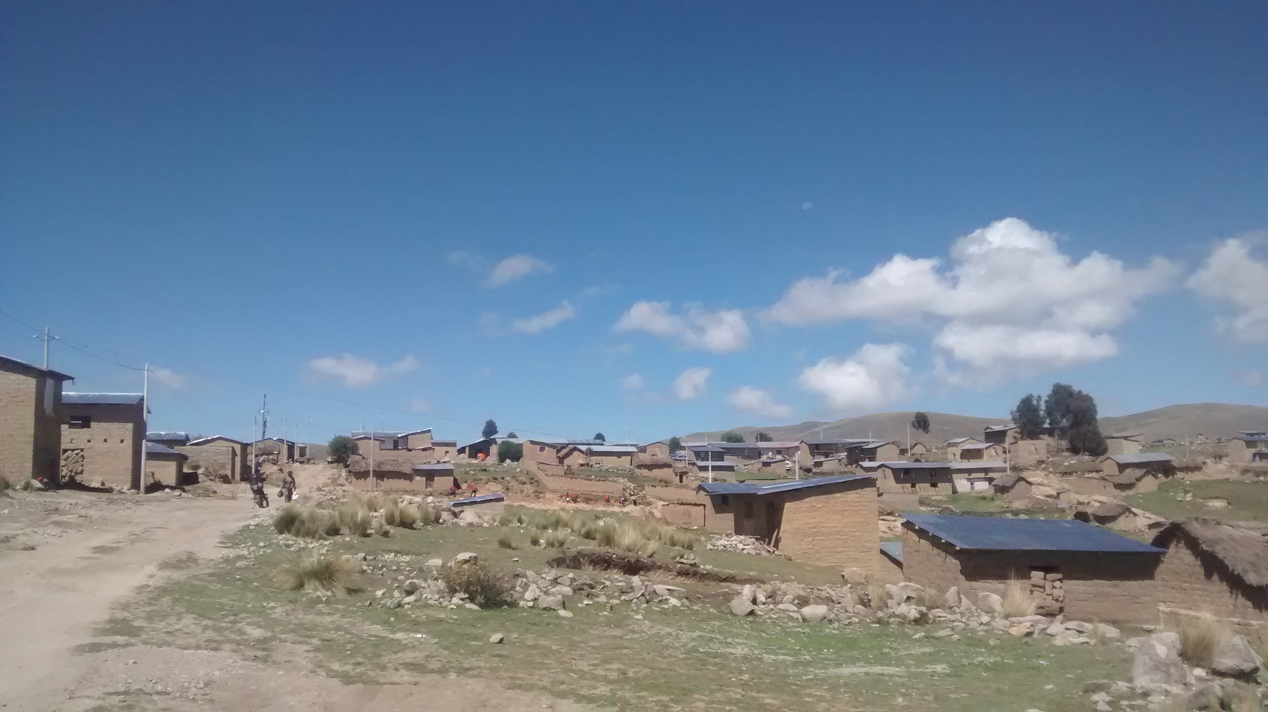
Ingata, es un centro poblado de la Comunidad Ingata, del Distrito de Chamaca, Provincia de Chumbivilcas, Departamento de Cusco, Perú. |
| ⧼wm-license-information-date⧽ | 2015 (according to Exif data) |
| ⧼wm-license-information-source⧽ | ⧼Wm-license-own-work⧽ |
| ⧼wm-license-information-author⧽ | Disjeaz-official |
14°15′41.8819″S 71°53′49.486″W / 14.261633861°S 71.89707944°W
ترخيص
|
تاريخ الملف
اضغط على زمن/تاريخ لرؤية الملف كما بدا في هذا الزمن.
| زمن/تاريخ | صورة مصغرة | الأبعاد | مستخدم | تعليق | |
|---|---|---|---|---|---|
| حالي | ★ مراجعة معتمدة 10:12، 14 أكتوبر 2023 | | 2٬592 × 1٬456 (1٫11 ميجابايت) | Pastakhov (نقاش | مساهمات) | Upload https://upload.wikimedia.org/wikipedia/commons/b/b3/Ingata.jpg |
لا يمكنك استبدال هذا الملف.
وصلات
لا يوجد صفحات تصل لهذه الصورة.