ملف:732Rodriguez, Rizal Barangays Roads Landmarks 05.jpg
حجم هذه المعاينة: 800 × 600 بكسل. البعدان الآخران: 2٬560 × 1٬920 بكسل | 4٬608 × 3٬456 بكسل.
الملف الأصلي (4٬608 × 3٬456 بكسل حجم الملف: 5٫73 ميجابايت، نوع MIME: image/jpeg)
وصف قصير
| ⧼wm-license-information-description⧽ |
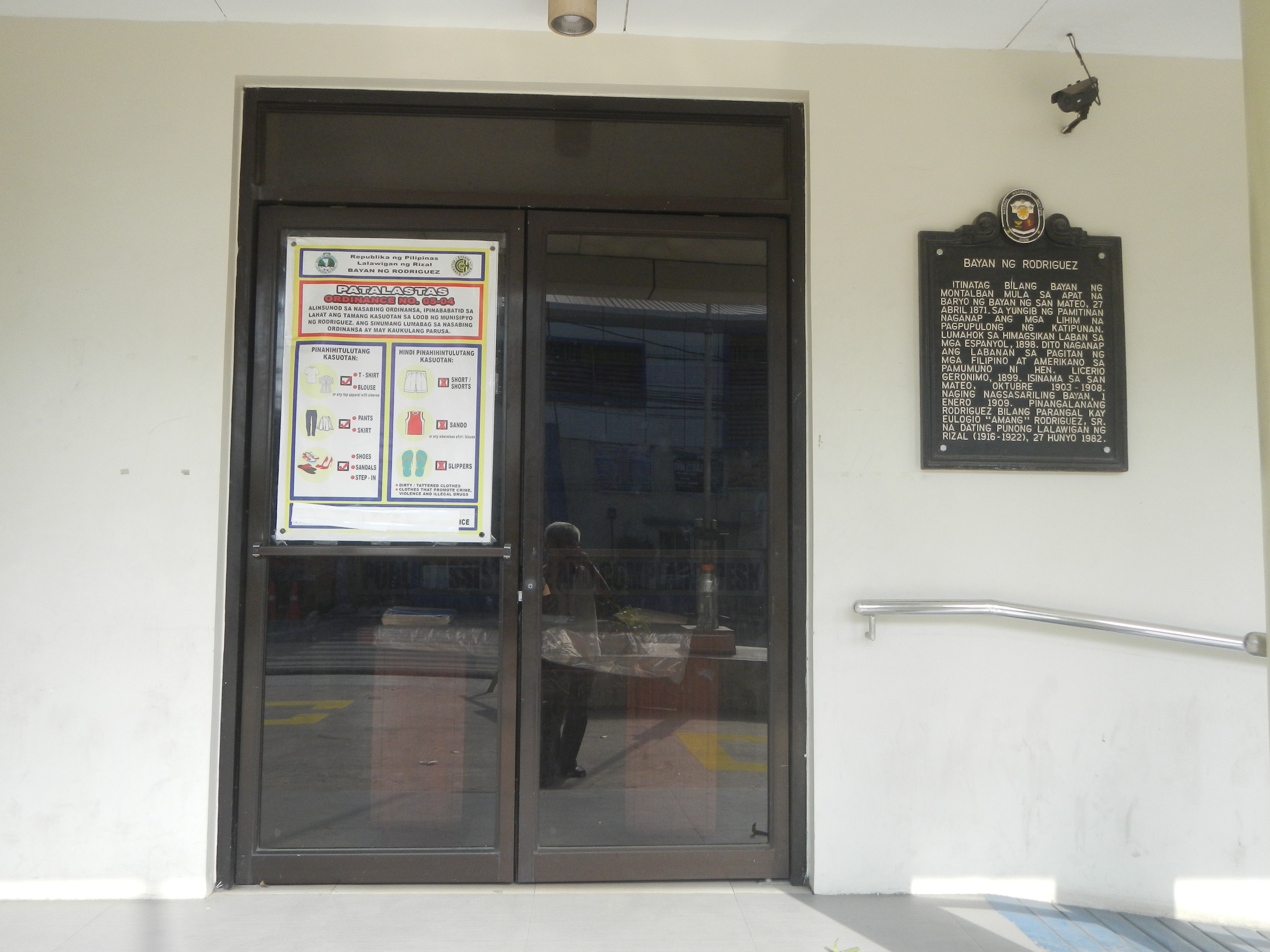
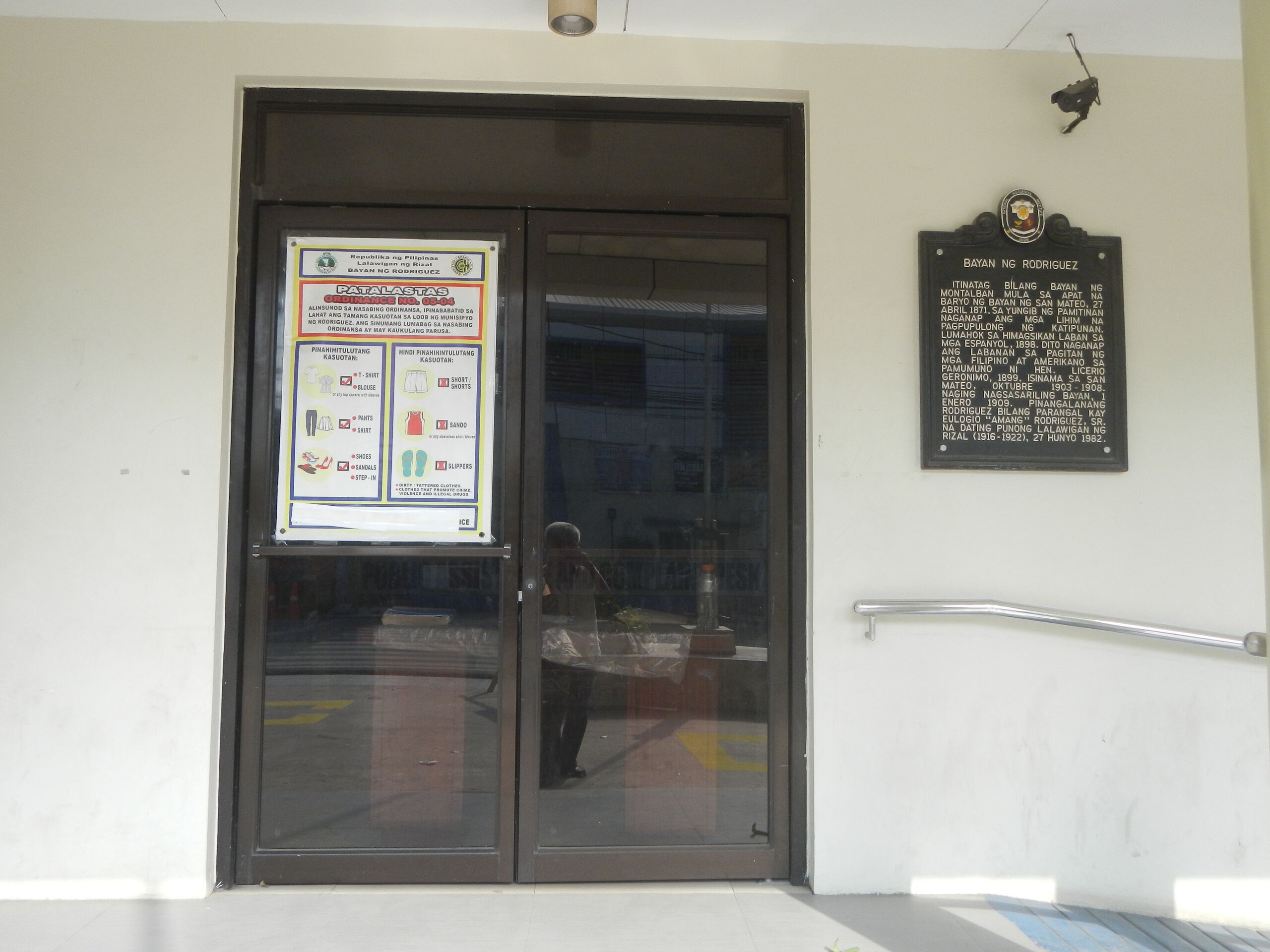
English: Jollibee restaurants in Rodriguez, Rizal Eulogio Rodriguez Y Adona ancestral house (J. P. Rizal Avenue, Balite, Rodriguez, Rizal) Town Hall of Rodriguez, Rizal J. P. Rizal Avenue Manggahan, Rodriguez, Rizal from Mango Bridge - Mango River (Burgos, Rodriguez, Rizal) Balite, Rodriguez, Rizal Eulogio Rodriguez Barangays Burgos 14°42'59"N 121°8'10"E Manggahan 14°43'30"N 121°8'42"E Balite 14°43'58"N 121°8'45"E Rodriguez, Rizal along Mabini Street, from Batasan–San Mateo Road Batasan Hills, Quezon City, Metro Manila, formerly known as Constitution Hill, corner Commonwealth Avenue, Quezon City formerly known as Don Mariano Marcos Avenue as part of Radial Road 7 (R-7) to Batasan Road (Note: Judge Florentino Floro, the owner, to repeat, Donor Florentino Floro of all these photos hereby donate gratuitously, freely and unconditionally all these photos to and for Wikimedia Commons, exclusively, for public use of the public domain, and again without any condition whatsoever).
|
| ⧼wm-license-information-date⧽ | 2018, {{time}} – invalid date format 18 (help) |
| ⧼wm-license-information-source⧽ | ⧼Wm-license-own-work⧽ |
| ⧼wm-license-information-author⧽ | Judgefloro |
14°43′58″N 121°08′45″E / 14.732778°N 121.145833°E Balite 14°43'58"N 121°8'45"E
ترخيص
تاريخ الملف
اضغط على زمن/تاريخ لرؤية الملف كما بدا في هذا الزمن.
| زمن/تاريخ | صورة مصغرة | الأبعاد | مستخدم | تعليق | |
|---|---|---|---|---|---|
| حالي | ★ مراجعة معتمدة 14:54، 11 نوفمبر 2023 | | 4٬608 × 3٬456 (5٫73 ميجابايت) | Pastakhov (نقاش | مساهمات) | Upload https://upload.wikimedia.org/wikipedia/commons/7/70/732Rodriguez%2C_Rizal_Barangays_Roads_Landmarks_05.jpg |
لا يمكنك استبدال هذا الملف.
وصلات
لا يوجد صفحات تصل لهذه الصورة.