ملف:1933 Paris-Nice.png

حجم هذه المعاينة: 599 × 599 بكسل. البعد الآخر: 1٬796 × 1٬797 بكسل.
الملف الأصلي (1٬796 × 1٬797 بكسل حجم الملف: 592 كيلوبايت، نوع MIME: image/png)
| ⧼wm-license-information-description⧽ |
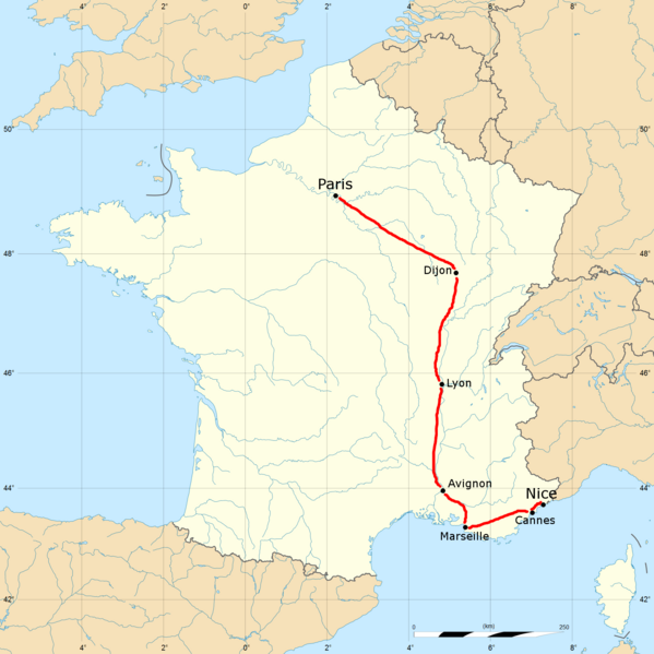
English: The 1933 Paris-Nice route.
|
| ⧼wm-license-information-date⧽ | 2011-06-28 04:38 (UTC) |
| ⧼wm-license-information-source⧽ | |
| ⧼wm-license-information-author⧽ |
|
| [This is a retouched picture, which means that it has been digitally altered from its original version. Modifications: Route added for the 1933 Paris-Nice. The original can be viewed here: France_blank.svg. Modifications made by December21st2012Freak.] Error: {{Lang}}: text has italic markup (help)
|
قالب:Original upload log
This image is a derivative work of the following images:
- File:France_blank.svg licensed with Cc-by-sa-2.5
- 2008-11-07T13:50:25Z Sting 1796x1797 (572016 Bytes) + boundary for the Channel Islands ; - canals
- 2008-09-25T02:46:38Z Sting 1796x1797 (577116 Bytes) Completely new version using NGDC WDBII data and with known projection
- 2006-09-21T16:34:27Z Sting 1796x1796 (996002 Bytes) Colours
- 2006-09-20T00:34:58Z Sting 1796x1796 (996902 Bytes) {{Information |Description=SVG map of France |Source=Own work |Date=September 2006 |Author=Eric Gaba ([[User:Sting|Sting]]) |Permission=CC-BY-SA-2.5 |other_versions= }} ---- {{fr}} * '''Sujet :''' Carte vectorielle de la
تاريخ الملف
اضغط على زمن/تاريخ لرؤية الملف كما بدا في هذا الزمن.
| زمن/تاريخ | صورة مصغرة | الأبعاد | مستخدم | تعليق | |
|---|---|---|---|---|---|
| حالي | ★ مراجعة معتمدة 19:53، 12 ديسمبر 2023 | | 1٬796 × 1٬797 (592 كيلوبايت) | Pastakhov (نقاش | مساهمات) | Upload https://upload.wikimedia.org/wikipedia/commons/8/88/1933_Paris-Nice.png |
لا يمكنك استبدال هذا الملف.
وصلات
لا يوجد صفحات تصل لهذه الصورة.